Distance to Fruitland, Washington

Calculating Your Route
Just a moment while we process your request...
Location Information
-
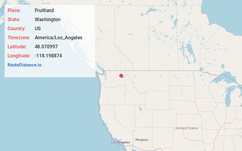
Full AddressFruitland, WA 99129
-
Coordinates48.0709969, -118.1988742
-
LocationFruitland , Washington , US
-
TimezoneAmerica/Los_Angeles
-
Current Local Time7:55:36 PM America/Los_AngelesThursday, May 22, 2025
-
Page Views0
About Fruitland
Fruitland is an unincorporated community in Stevens County, Washington, United States. Fruitland is located along Washington State Route 25 near the Columbia River, 26.5 miles northeast of Creston. Fruitland has a post office with ZIP code 99129.


Nearby Places
Found 10 places within 50 miles

Inchelium
15.6 mi
25.1 km
Inchelium, WA 99138
Get directions

Springdale
21.1 mi
34.0 km
Springdale, WA
Get directions

Keller
22.4 mi
36.0 km
Keller, WA 99140
Get directions

Valley
23.0 mi
37.0 km
Valley, WA 99181
Get directions

Addy
25.8 mi
41.5 km
Addy, WA 99101
Get directions

Loon Lake
26.1 mi
42.0 km
Loon Lake, WA 99148
Get directions

Creston
26.2 mi
42.2 km
Creston, WA 99117
Get directions

Chewelah
26.4 mi
42.5 km
Chewelah, WA 99109
Get directions
Cozy Nook
28.7 mi
46.2 km
Cozy Nook, WA 99109
Get directions

Davenport
28.9 mi
46.5 km
Davenport, WA 99122
Get directions
Location Links
Local Weather
Weather Information
Coming soon!
Location Map
Static map view of Fruitland, Washington
Browse Places by Distance
Places within specific distances from Fruitland
Short Distances
Long Distances
Click any distance to see all places within that range from Fruitland. Distances shown in miles (1 mile ≈ 1.61 kilometers).