Distance to Fruitland, Iowa

Calculating Your Route
Just a moment while we process your request...
Location Information
-
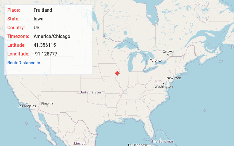
Full AddressFruitland, IA
-
Coordinates41.3561152, -91.1287769
-
LocationFruitland , Iowa , US
-
TimezoneAmerica/Chicago
-
Current Local Time11:04:37 PM America/ChicagoSunday, May 25, 2025
-
Page Views0
About Fruitland
Fruitland is a city in Muscatine County, Iowa, United States. The population was 963 at the time of the 2020 census. It is part of the Muscatine Micropolitan Statistical Area.
Nearby Places
Found 10 places within 50 miles

Muscatine
6.5 mi
10.5 km
Muscatine, IA 52761
Get directions

Wapello
12.4 mi
20.0 km
Wapello, IA 52653
Get directions

Columbus Junction
13.1 mi
21.1 km
Columbus Junction, IA 52738
Get directions

West Liberty
16.4 mi
26.4 km
West Liberty, IA 52776
Get directions

Wilton
17.1 mi
27.5 km
Wilton, IA 52778
Get directions

Lone Tree
17.8 mi
28.6 km
Lone Tree, IA 52755
Get directions
Durant
20.3 mi
32.7 km
Durant, IA 52747
Get directions
Blue Grass
21.6 mi
34.8 km
Blue Grass, IA 52726
Get directions

Aledo
22.5 mi
36.2 km
Aledo, IL 61231
Get directions
Mediapolis
24.1 mi
38.8 km
Mediapolis, IA 52637
Get directions
Location Links
Local Weather
Weather Information
Coming soon!
Location Map
Static map view of Fruitland, Iowa
Browse Places by Distance
Places within specific distances from Fruitland
Short Distances
Long Distances
Click any distance to see all places within that range from Fruitland. Distances shown in miles (1 mile ≈ 1.61 kilometers).