Distance to Fruitland, North Carolina

Calculating Your Route
Just a moment while we process your request...
Location Information
-
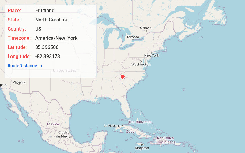
Full AddressFruitland, NC 28792
-
Coordinates35.3965056, -82.3931732
-
LocationFruitland , North Carolina , US
-
TimezoneAmerica/New_York
-
Current Local Time1:55:34 AM America/New_YorkWednesday, June 18, 2025
-
Page Views0
About Fruitland
Fruitland is an unincorporated community and census-designated place in Henderson County, North Carolina, United States. Its population was 2,031 as of the 2010 census.

Nearby Places
Found 10 places within 50 miles

Edneyville
3.0 mi
4.8 km
Edneyville, NC 28792
Get directions

Dana
4.8 mi
7.7 km
Dana, NC
Get directions

Mountain Home
5.9 mi
9.5 km
Mountain Home, NC
Get directions

Fletcher
6.5 mi
10.5 km
Fletcher, NC
Get directions

Hendersonville
6.6 mi
10.6 km
Hendersonville, NC
Get directions

Laurel Park
8.0 mi
12.9 km
Laurel Park, NC
Get directions

Fairview
8.1 mi
13.0 km
Fairview, NC 28730
Get directions
Royal Pines
8.5 mi
13.7 km
Royal Pines, NC
Get directions

Flat Rock
9.1 mi
14.6 km
Flat Rock, NC
Get directions

Mills River
9.8 mi
15.8 km
Mills River, NC
Get directions
Location Links
Local Weather
Weather Information
Coming soon!
Location Map
Static map view of Fruitland, North Carolina
Browse Places by Distance
Places within specific distances from Fruitland
Short Distances
Long Distances
Click any distance to see all places within that range from Fruitland. Distances shown in miles (1 mile ≈ 1.61 kilometers).