Distance to Fulton, Alabama

Calculating Your Route
Just a moment while we process your request...
Location Information
-
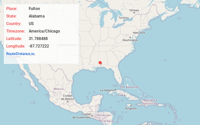
Full AddressFulton, AL
-
Coordinates31.7884881, -87.7272221
-
LocationFulton , Alabama , US
-
TimezoneAmerica/Chicago
-
Current Local Time2:52:28 AM America/ChicagoMonday, June 23, 2025
-
Page Views0
About Fulton
Fulton is a town in Clarke County, Alabama, United States. At the 2020 census, the population was 223.
Nearby Places
Found 10 places within 50 miles

Grove Hill
6.2 mi
10.0 km
Grove Hill, AL
Get directions

Thomasville
8.7 mi
14.0 km
Thomasville, AL
Get directions

Pine Hill
15.5 mi
24.9 km
Pine Hill, AL
Get directions

Jackson
21.7 mi
34.9 km
Jackson, AL 36545
Get directions

Leroy
24.5 mi
39.4 km
Leroy, AL 36548
Get directions

St Stephens
25.8 mi
41.5 km
St Stephens, AL 36569
Get directions

Camden
29.2 mi
47.0 km
Camden, AL 36726
Get directions

Monroeville
29.7 mi
47.8 km
Monroeville, AL 36460
Get directions

Frisco City
31.1 mi
50.1 km
Frisco City, AL 36445
Get directions
Excel
33.7 mi
54.2 km
Excel, AL
Get directions
Location Links
Local Weather
Weather Information
Coming soon!
Location Map
Static map view of Fulton, Alabama
Browse Places by Distance
Places within specific distances from Fulton
Short Distances
Long Distances
Click any distance to see all places within that range from Fulton. Distances shown in miles (1 mile ≈ 1.61 kilometers).