Distance to Gainesway, Kentucky

Calculating Your Route
Just a moment while we process your request...
Location Information
-
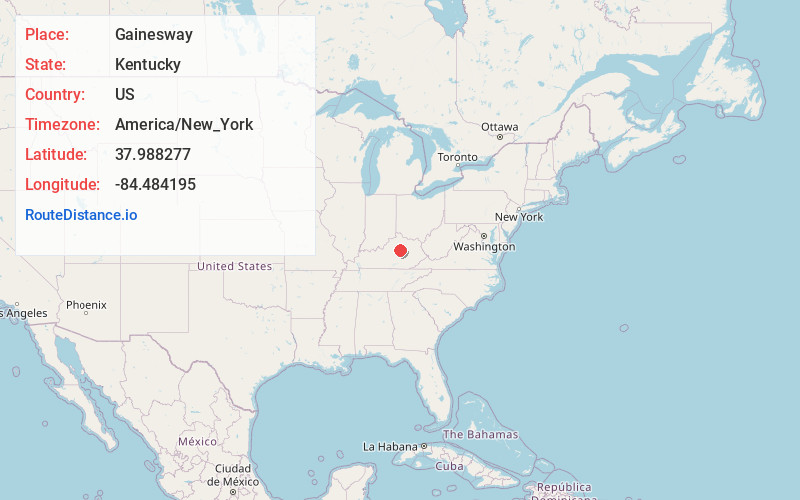
Full AddressGainesway, Lexington, KY 40517
-
Coordinates37.9882774, -84.4841954
-
NeighborhoodGainesway
-
LocationLexington , Kentucky , US
-
TimezoneAmerica/New_York
-
Current Local Time11:20:13 PM America/New_YorkThursday, June 5, 2025
-
Page Views0
About Gainesway
Gainesway is a neighborhood in southeastern Lexington, Kentucky, United States. Its boundaries are New Circle Road to the north, Tates Creek Road to the west, Armstrong Mill Road to the south, and a combination of Pimlico Parkway and Bold Bidder Drive to the east.
Nearby Places
Found 10 places within 50 miles

Baralto
1.8 mi
2.9 km
Baralto, Lexington, KY 40517
Get directions
Blueberry Hill
2.1 mi
3.4 km
Blueberry Hill, Lexington, KY 40517
Get directions

Lexington
3.9 mi
6.3 km
Lexington, KY
Get directions
Eastland
4.2 mi
6.8 km
Eastland, Lexington, KY 40505
Get directions
Pricetown
6.0 mi
9.7 km
Pricetown, Lexington, KY 40509
Get directions
Nihizertown
6.6 mi
10.6 km
Nihizertown, Lexington, KY 40509
Get directions
Union Mills
6.9 mi
11.1 km
Union Mills, KY 40356
Get directions

Jessamine County
7.7 mi
12.4 km
Jessamine County, KY
Get directions
Nicholasville
9.0 mi
14.5 km
Nicholasville, KY 40356
Get directions
Keene
9.1 mi
14.6 km
Keene, KY
Get directions
Location Links
Local Weather
Weather Information
Coming soon!
Location Map
Static map view of Gainesway, Kentucky
Browse Places by Distance
Places within specific distances from Gainesway
Short Distances
Long Distances
Click any distance to see all places within that range from Gainesway. Distances shown in miles (1 mile ≈ 1.61 kilometers).