Distance to Galata, Montana

Calculating Your Route
Just a moment while we process your request...
Location Information
-
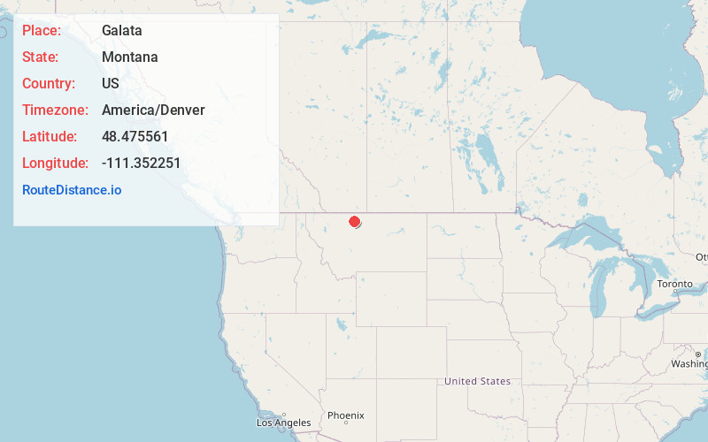
Full AddressGalata, MT
-
Coordinates48.4755608, -111.352251
-
LocationGalata , Montana , US
-
TimezoneAmerica/Denver
-
Current Local Time4:34:08 PM America/DenverTuesday, June 3, 2025
-
Page Views0
About Galata
Galata is an unincorporated community in Toole County, Montana, United States. The community has a post office with ZIP code 59444, which opened on July 12, 1902.
The town was named by the Great Northern Railway for nearby Galata Ravine.


Nearby Places
Found 10 places within 50 miles

Devon
5.8 mi
9.3 km
Devon, MT 59474
Get directions
Dunkirk
14.3 mi
23.0 km
Dunkirk, MT 59474
Get directions
Eagle Creek Colony
16.7 mi
26.9 km
Eagle Creek Colony, MT 59444
Get directions

Chester
17.8 mi
28.6 km
Chester, MT 59522
Get directions

Shelby
23.2 mi
37.3 km
Shelby, MT 59474
Get directions

Riverview Colony
25.3 mi
40.7 km
Riverview Colony, MT
Get directions
Joplin
27.2 mi
43.8 km
Joplin, MT 59531
Get directions
Ferdig
27.3 mi
43.9 km
Ferdig, MT 59466
Get directions

Gold Butte
27.5 mi
44.3 km
Gold Butte, MT 59484
Get directions
Whitlash
30.3 mi
48.8 km
Whitlash, MT 59545
Get directions
Location Links
Local Weather
Weather Information
Coming soon!
Location Map
Static map view of Galata, Montana
Browse Places by Distance
Places within specific distances from Galata
Short Distances
Long Distances
Click any distance to see all places within that range from Galata. Distances shown in miles (1 mile ≈ 1.61 kilometers).