Distance to Galatia Township, Illinois

Calculating Your Route
Just a moment while we process your request...
Location Information
-
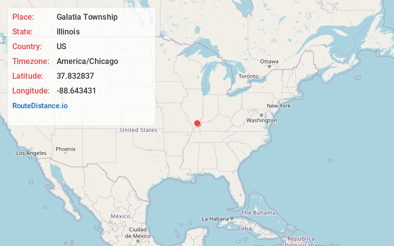
Full AddressGalatia Township, IL
-
Coordinates37.8328372, -88.6434308
-
LocationGalatia Township , Illinois , US
-
TimezoneAmerica/Chicago
-
Current Local Time9:32:27 AM America/ChicagoMonday, June 23, 2025
-
Page Views0
About Galatia Township
Galatia Township is located in Saline County, Illinois. As of the 2010 census, its population was 1,230 and it contained 592 housing units.
Nearby Places
Found 10 places within 50 miles

Galatia
1.9 mi
3.1 km
Galatia, IL 62935
Get directions

Rileyville
2.0 mi
3.2 km
Rileyville, Galatia Township, IL 62935
Get directions
Harco
2.6 mi
4.2 km
Harco, IL 62935
Get directions
Banklick
3.2 mi
5.1 km
Banklick, Galatia Township, IL 62935
Get directions
New Hope
3.7 mi
6.0 km
New Hope, Brushy Township, IL 62935
Get directions
Long Branch
5.1 mi
8.2 km
Long Branch, IL 62935
Get directions
Cornerville
5.2 mi
8.4 km
Cornerville, IL 62935
Get directions
Raleigh
6.1 mi
9.8 km
Raleigh, IL 62977
Get directions
Corinth
7.3 mi
11.7 km
Corinth, IL 62890
Get directions
Ferber
7.4 mi
11.9 km
Ferber, Cave Township, IL 62890
Get directions
Location Links
Local Weather
Weather Information
Coming soon!
Location Map
Static map view of Galatia Township, Illinois
Browse Places by Distance
Places within specific distances from Galatia Township
Short Distances
Long Distances
Click any distance to see all places within that range from Galatia Township. Distances shown in miles (1 mile ≈ 1.61 kilometers).