Distance to Gallia County, Ohio

Calculating Your Route
Just a moment while we process your request...
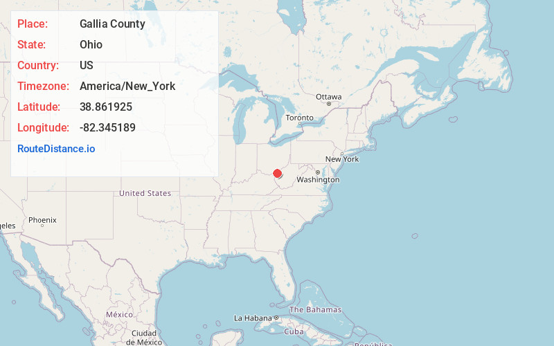
Location Information
-
Full AddressGallia County, OH
-
Coordinates38.8619254, -82.345189
-
LocationOhio , US
-
TimezoneAmerica/New_York
-
Current Local Time4:51:54 PM America/New_YorkWednesday, June 4, 2025
-
Page Views0
About Gallia County
Gallia County is a county located in the U.S. state of Ohio. As of the 2020 census, the population was 29,220. Its county seat and largest village is Gallipolis.


Nearby Places
Found 10 places within 50 miles

Rio Grande
2.3 mi
3.7 km
Rio Grande, OH
Get directions

Rodney
2.4 mi
3.9 km
Rodney, OH 45631
Get directions

Bidwell
4.6 mi
7.4 km
Bidwell, OH
Get directions
Glen Summitt
6.0 mi
9.7 km
Glen Summitt, Morgan Township, OH 45686
Get directions

Patriot
6.4 mi
10.3 km
Patriot, OH
Get directions

Vinton
7.9 mi
12.7 km
Vinton, OH 45686
Get directions
Cadmus
8.2 mi
13.2 km
Cadmus, Walnut Township, OH 45658
Get directions

Gallipolis
8.5 mi
13.7 km
Gallipolis, OH 45631
Get directions
Bulaville
9.1 mi
14.6 km
Bulaville, Addison Township, OH 45631
Get directions
Morgan Center
9.4 mi
15.1 km
Morgan Center, Morgan Township, OH 45614
Get directions
Location Links
Local Weather
Weather Information
Coming soon!
Location Map
Static map view of Gallia County, Ohio
Browse Places by Distance
Places within specific distances from Gallia County
Short Distances
Long Distances
Click any distance to see all places within that range from Gallia County. Distances shown in miles (1 mile ≈ 1.61 kilometers).