Distance to Gandy, Texas

Calculating Your Route
Just a moment while we process your request...
Location Information
-
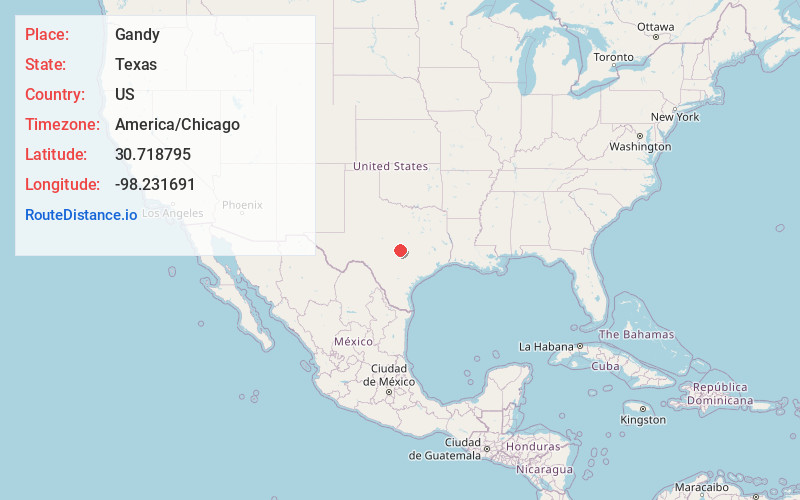
Full AddressGandy, TX 78611
-
Coordinates30.7187946, -98.2316911
-
LocationTexas , US
-
TimezoneAmerica/Chicago
-
Current Local Time8:30:48 PM America/ChicagoFriday, June 6, 2025
-
Page Views0
Nearby Places
Found 10 places within 50 miles

Burnet
2.7 mi
4.3 km
Burnet, TX 78611
Get directions

Scobee
7.1 mi
11.4 km
Scobee, TX 78654
Get directions

Marble Falls
10.0 mi
16.1 km
Marble Falls, TX 78654
Get directions

Bertram
10.6 mi
17.1 km
Bertram, TX 78605
Get directions
Meadowlakes
11.5 mi
18.5 km
Meadowlakes, TX 78654
Get directions

Buchanan Dam
11.9 mi
19.2 km
Buchanan Dam, TX
Get directions

Highland Haven
12.4 mi
20.0 km
Highland Haven, TX 78654
Get directions

Cottonwood Shores
12.5 mi
20.1 km
Cottonwood Shores, TX 78657
Get directions

Granite Shoals
12.7 mi
20.4 km
Granite Shoals, TX 78654
Get directions

Kingsland
13.1 mi
21.1 km
Kingsland, TX 78639
Get directions
Location Links
Local Weather
Weather Information
Coming soon!
Location Map
Static map view of Gandy, Texas
Browse Places by Distance
Places within specific distances from Gandy
Short Distances
Long Distances
Click any distance to see all places within that range from Gandy. Distances shown in miles (1 mile ≈ 1.61 kilometers).