Distance to Gang Mills, New York

Calculating Your Route
Just a moment while we process your request...
Location Information
-
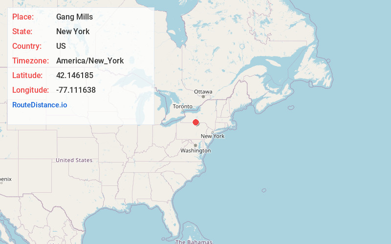
Full AddressGang Mills, NY 14870
-
Coordinates42.1461852, -77.1116375
-
LocationGang Mills , New York , US
-
TimezoneAmerica/New_York
-
Current Local Time3:06:30 AM America/New_YorkTuesday, June 3, 2025
-
Page Views0
About Gang Mills
Gang Mills is a hamlet in Steuben County, New York. The population was 4,185 at the 2010 census.
Gang Mills is located in the town of Erwin, southwest of Corning. During the mid 1800s, it was the site of gang-saw mills to cut lumber.
Nearby Places
Found 10 places within 50 miles

Corning
2.9 mi
4.7 km
Corning, NY 14830
Get directions

Big Flats
9.0 mi
14.5 km
Big Flats, NY
Get directions

West Elmira
14.4 mi
23.2 km
West Elmira, NY
Get directions

Horseheads
15.0 mi
24.1 km
Horseheads, NY 14845
Get directions
Southport
16.3 mi
26.2 km
Southport, NY
Get directions
Springfield
27.8 mi
44.7 km
Springfield, PA 16914
Get directions

Newfield
29.8 mi
48.0 km
Newfield, NY
Get directions

Hornell
30.8 mi
49.6 km
Hornell, NY 14843
Get directions

Sayre
32.7 mi
52.6 km
Sayre, PA 18840
Get directions
Harrison
34.3 mi
55.2 km
Harrison, PA 16948
Get directions
Location Links
Local Weather
Weather Information
Coming soon!
Location Map
Static map view of Gang Mills, New York
Browse Places by Distance
Places within specific distances from Gang Mills
Short Distances
Long Distances
Click any distance to see all places within that range from Gang Mills. Distances shown in miles (1 mile ≈ 1.61 kilometers).