Distance to Garfield, Pennsylvania

Calculating Your Route
Just a moment while we process your request...
Location Information
-
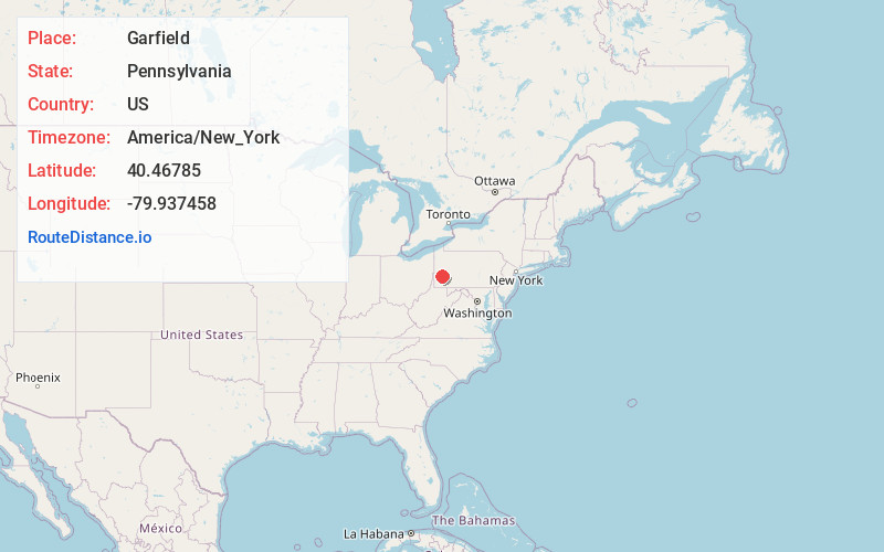
Full AddressGarfield, Pittsburgh, PA
-
Coordinates40.4678497, -79.9374582
-
NeighborhoodGarfield
-
LocationPittsburgh , Pennsylvania , US
-
TimezoneAmerica/New_York
-
Current Local Time7:26:50 PM America/New_YorkWednesday, May 21, 2025
-
Page Views0
About Garfield
Garfield is a neighborhood in the East End of the City of Pittsburgh, Pennsylvania, United States. Garfield is bordered on the South by Bloomfield and Friendship, on the West by the Allegheny Cemetery, on the North by Stanton Heights, and on the East by East Liberty.


Nearby Places
Found 10 places within 50 miles

Sharpsburg
1.9 mi
3.1 km
Sharpsburg, PA
Get directions

Cherry City
2.3 mi
3.7 km
Cherry City, Shaler Township, PA 15209
Get directions

Millvale
2.3 mi
3.7 km
Millvale, PA 15209
Get directions
Park View
2.4 mi
3.9 km
Park View, O'Hara Township, PA 15215
Get directions

Aspinwall
2.4 mi
3.9 km
Aspinwall, PA 15215
Get directions
Sharpe Hill
2.5 mi
4.0 km
Sharpe Hill, Shaler Township, PA 15215
Get directions

Etna
2.6 mi
4.2 km
Etna, PA 15223
Get directions
Bauerstown
2.8 mi
4.5 km
Bauerstown, Shaler Township, PA 15209
Get directions
Reserve Township
3.3 mi
5.3 km
Reserve Township, PA
Get directions

Wilkinsburg
3.4 mi
5.5 km
Wilkinsburg, PA
Get directions
Location Links
Local Weather
Weather Information
Coming soon!
Location Map
Static map view of Garfield, Pennsylvania
Browse Places by Distance
Places within specific distances from Garfield
Short Distances
Long Distances
Click any distance to see all places within that range from Garfield. Distances shown in miles (1 mile ≈ 1.61 kilometers).