Distance to Garfield Township, Minnesota

Calculating Your Route
Just a moment while we process your request...
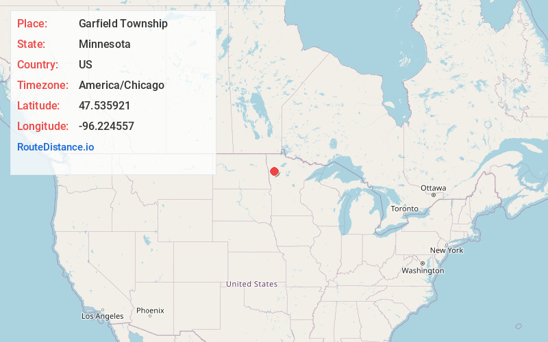
Location Information
-
Full AddressGarfield Township, MN 56540
-
Coordinates47.5359209, -96.2245565
-
LocationGarfield Township , Minnesota , US
-
TimezoneAmerica/Chicago
-
Current Local Time3:07:29 AM America/ChicagoMonday, June 16, 2025
-
Page Views0
About Garfield Township
Garfield Township is a township in Polk County, Minnesota, United States. It is part of the Grand Forks-ND-MN Metropolitan Statistical Area. The population was 391 at the 2000 census.
Garfield Township was organized in 1880, and named for James A. Garfield, the 20th President of the United States.
Nearby Places
Found 10 places within 50 miles

Fertile
2.6 mi
4.2 km
Fertile, MN 56540
Get directions

Rindal
5.0 mi
8.0 km
Rindal, MN 56540
Get directions
Godfrey Township
5.4 mi
8.7 km
Godfrey Township, MN
Get directions
Flaming
5.9 mi
9.5 km
Flaming, MN 56540
Get directions

Maple Bay
6.9 mi
11.1 km
Maple Bay, MN 56736
Get directions
Ranum
7.0 mi
11.3 km
Ranum, MN 56516
Get directions

Melvin
9.7 mi
15.6 km
Melvin, MN 56517
Get directions

Winger
11.0 mi
17.7 km
Winger, MN 56592
Get directions
Dugdale
11.4 mi
18.3 km
Dugdale, MN 56736
Get directions

Gary
11.5 mi
18.5 km
Gary, MN 56545
Get directions
Location Links
Local Weather
Weather Information
Coming soon!
Location Map
Static map view of Garfield Township, Minnesota
Browse Places by Distance
Places within specific distances from Garfield Township
Short Distances
Long Distances
Click any distance to see all places within that range from Garfield Township. Distances shown in miles (1 mile ≈ 1.61 kilometers).