Distance to Garland, West Virginia

Calculating Your Route
Just a moment while we process your request...
Location Information
-
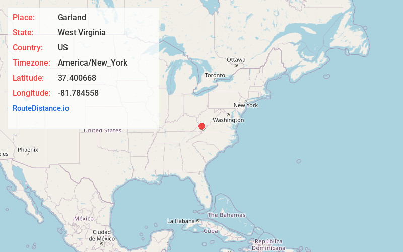
Full AddressGarland, WV 24879
-
Coordinates37.4006676, -81.7845576
-
LocationGarland , West Virginia , US
-
TimezoneAmerica/New_York
-
Current Local Time4:54:16 PM America/New_YorkSaturday, May 31, 2025
-
Page Views0
About Garland
Garland is an unincorporated community in McDowell County, West Virginia, United States. Garland is located near West Virginia Route 80, 3.5 miles north-northeast of Bradshaw.
The town is on the Norfolk Southern Railway network and the Dry Branch of the Tug Fork river.
Nearby Places
Found 10 places within 50 miles

Avondale
0.8 mi
1.3 km
Avondale, WV 24879
Get directions

Lex
2.3 mi
3.7 km
Lex, WV 24873
Get directions
Dan
3.3 mi
5.3 km
Dan, Bradshaw, WV 24879
Get directions
Bradshaw
3.5 mi
5.6 km
Bradshaw, WV 24879
Get directions
Atwell
3.7 mi
6.0 km
Atwell, WV 24879
Get directions
Raysal
4.0 mi
6.4 km
Raysal, WV 24879
Get directions
Wilmore
4.4 mi
7.1 km
Wilmore, WV 24844
Get directions

Iaeger
4.7 mi
7.6 km
Iaeger, WV 24844
Get directions
Bartley
4.9 mi
7.9 km
Bartley, WV 24879
Get directions
Whetstone Branch
5.3 mi
8.5 km
Whetstone Branch, West Virginia 24872
Get directions
Location Links
Local Weather
Weather Information
Coming soon!
Location Map
Static map view of Garland, West Virginia
Browse Places by Distance
Places within specific distances from Garland
Short Distances
Long Distances
Click any distance to see all places within that range from Garland. Distances shown in miles (1 mile ≈ 1.61 kilometers).