Distance to Garmisch-Partenkirchen, Bayern

Calculating Your Route
Just a moment while we process your request...
Location Information
-
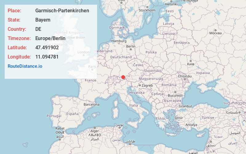
Full Address82467 Garmisch-Partenkirchen, Germany
-
Coordinates47.4919023, 11.0947806
-
LocationGarmisch-Partenkirchen , Bayern , DE
-
TimezoneEurope/Berlin
-
Current Local Time5:01:48 AM Europe/BerlinSunday, June 15, 2025
-
Website
-
Page Views0
About Garmisch-Partenkirchen
Garmisch-Partenkirchen is a German ski resort in Bavaria, formed when 2 towns united in 1935. It's a prominent destination for skiing and ice skating as well as hiking. The town lies near the Zugspitze, Germany's highest peak, with a 2,962m summit accessed by cogwheel train and cable car. Garmisch is considered the more fashionable section, while Partenkirchen's cobblestone streets retain a traditional Bavarian feel.


Nearby Places
Found 2 places within 50 miles


Location Links
Local Weather
Weather Information
Coming soon!
Location Map
Static map view of Garmisch-Partenkirchen, Bayern
Browse Places by Distance
Places within specific distances from Garmisch-Partenkirchen
Short Distances
Long Distances
Click any distance to see all places within that range from Garmisch-Partenkirchen. Distances shown in miles (1 mile ≈ 1.61 kilometers).