Distance to Garnet, Wisconsin

Calculating Your Route
Just a moment while we process your request...
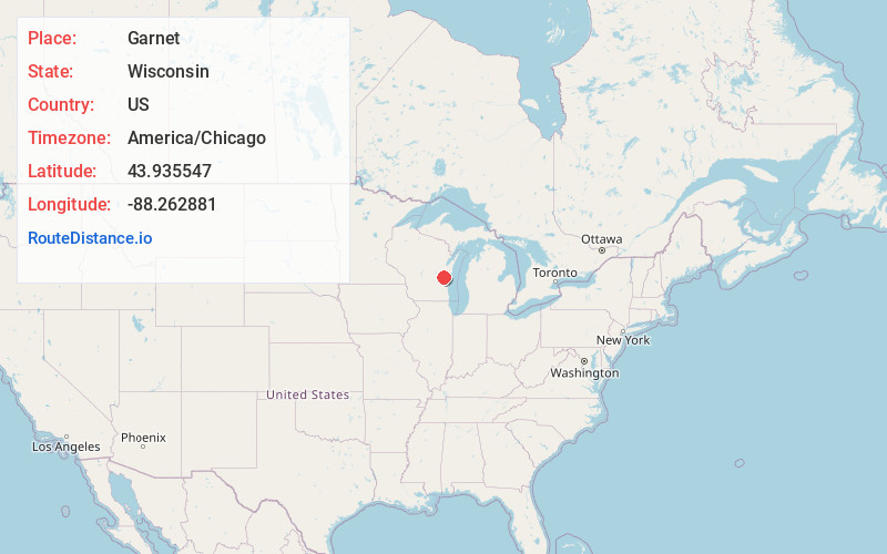
Location Information
-
Full AddressGarnet, Calumet, WI 53049
-
Coordinates43.9355468, -88.2628808
-
LocationCalumet , Wisconsin , US
-
TimezoneAmerica/Chicago
-
Current Local Time11:21:26 AM America/ChicagoSaturday, June 7, 2025
-
Page Views0
About Garnet
Garnet, Wisconsin is an unincorporated community in Fond du Lac County, in the U.S. state of Wisconsin. The community is on the north boundary of the county, just south of Calumet County. It is located at the intersection of County Highway HHH and Town Hall Road just east of Calumet County C, in the town of Calumet.
Nearby Places
Found 10 places within 50 miles

Jericho
2.4 mi
3.9 km
Jericho, WI 53014
Get directions
Pukwana Beach
2.7 mi
4.3 km
Pukwana Beach, Calumet, WI 53049
Get directions

Pipe
3.0 mi
4.8 km
Pipe, WI 53049
Get directions

Brothertown
3.2 mi
5.1 km
Brothertown, WI 53014
Get directions
Highland Park
5.1 mi
8.2 km
Highland Park, Calumet, WI 54937
Get directions

Malone
5.3 mi
8.5 km
Malone, WI 53049
Get directions
Laudolff Beach
6.2 mi
10.0 km
Laudolff Beach, Calumet, WI 54937
Get directions
Welling Beach
6.7 mi
10.8 km
Welling Beach, Taycheedah, WI 54937
Get directions
Silica
7.1 mi
11.4 km
Silica, WI 53049
Get directions
Gladstone Beach
7.2 mi
11.6 km
Gladstone Beach, Taycheedah, WI 54937
Get directions
Location Links
Local Weather
Weather Information
Coming soon!
Location Map
Static map view of Garnet, Wisconsin
Browse Places by Distance
Places within specific distances from Garnet
Short Distances
Long Distances
Click any distance to see all places within that range from Garnet. Distances shown in miles (1 mile ≈ 1.61 kilometers).