Distance to Garrett, Wyoming

Calculating Your Route
Just a moment while we process your request...
Location Information
-
Full AddressGarrett, WY 82058
-
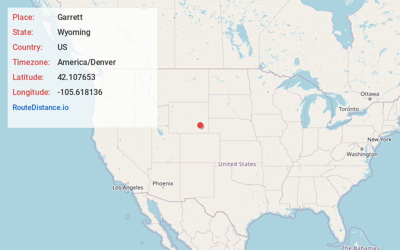
Coordinates42.1076529, -105.6181362
-
LocationGarrett , Wyoming , US
-
TimezoneAmerica/Denver
-
Current Local Time7:37:55 PM America/DenverFriday, June 20, 2025
-
Page Views0
About Garrett
Garrett is an unincorporated community in northern Albany County, Wyoming, United States, along the North Laramie River. It lies along local roads north of the city of Laramie, the county seat of Albany County.


Nearby Places
Found 10 places within 50 miles

Esterbrook
24.8 mi
39.9 km
Esterbrook, WY 82633
Get directions

Westview Circle
28.5 mi
45.9 km
Westview Circle, WY 82201
Get directions
Wilcox
28.8 mi
46.3 km
Wilcox, WY 82083
Get directions

Como Ridge
28.9 mi
46.5 km
Como Ridge, Wyoming
Get directions
Natwick
30.6 mi
49.2 km
Natwick, WY 82201
Get directions

Rock River
31.3 mi
50.4 km
Rock River, WY 82083
Get directions
Lookout
32.0 mi
51.5 km
Lookout, WY 82051
Get directions

Medicine Bow
33.5 mi
53.9 km
Medicine Bow, WY 82329
Get directions
Cooper Lake
33.7 mi
54.2 km
Cooper Lake, WY 82051
Get directions
Lakeview North
33.8 mi
54.4 km
Lakeview North, WY 82201
Get directions
Location Links
Local Weather
Weather Information
Coming soon!
Location Map
Static map view of Garrett, Wyoming
Browse Places by Distance
Places within specific distances from Garrett
Short Distances
Long Distances
Click any distance to see all places within that range from Garrett. Distances shown in miles (1 mile ≈ 1.61 kilometers).