Distance to Garza County, Texas

Calculating Your Route
Just a moment while we process your request...
Location Information
-
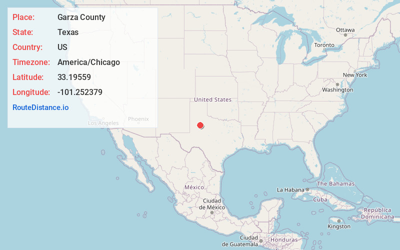
Full AddressGarza County, TX
-
Coordinates33.1955897, -101.2523792
-
LocationTexas , US
-
TimezoneAmerica/Chicago
-
Current Local Time7:11:10 AM America/ChicagoThursday, May 22, 2025
-
Page Views0
About Garza County
Garza County is a county located in the U.S. state of Texas. As of the 2020 census, its population was 5,816, of which most of the population were residing in its county seat, and only incorporated municipality, Post. The county was created in 1876 and later organized in 1907.

Nearby Places
Found 10 places within 50 miles

Post
7.3 mi
11.7 km
Post, TX 79356
Get directions

Slaton
28.1 mi
45.2 km
Slaton, TX 79364
Get directions

Spur
30.0 mi
48.3 km
Spur, TX 79370
Get directions

Tahoka
31.4 mi
50.5 km
Tahoka, TX 79373
Get directions

Crosbyton
32.1 mi
51.7 km
Crosbyton, TX 79322
Get directions

Ransom Canyon
34.0 mi
54.7 km
Ransom Canyon, TX
Get directions

Ralls
34.2 mi
55.0 km
Ralls, TX 79357
Get directions

Buffalo Springs
35.1 mi
56.5 km
Buffalo Springs, TX
Get directions

Lorenzo
36.7 mi
59.1 km
Lorenzo, TX 79343
Get directions

O'Donnell
37.2 mi
59.9 km
O'Donnell, TX 79351
Get directions
Location Links
Local Weather
Weather Information
Coming soon!
Location Map
Static map view of Garza County, Texas
Browse Places by Distance
Places within specific distances from Garza County
Short Distances
Long Distances
Click any distance to see all places within that range from Garza County. Distances shown in miles (1 mile ≈ 1.61 kilometers).