Distance to Gaston, California

Calculating Your Route
Just a moment while we process your request...
Location Information
-
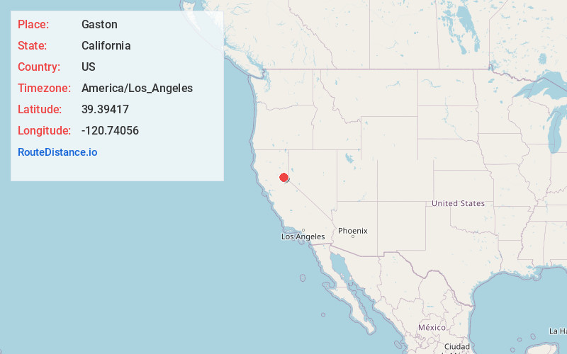
Full AddressGaston, CA 95959
-
Coordinates39.39417, -120.74056
-
LocationGaston , California , US
-
TimezoneAmerica/Los_Angeles
-
Current Local Time8:41:23 AM America/Los_AngelesMonday, June 16, 2025
-
Page Views0
About Gaston
Gaston is the site of a former mining community in Nevada County, California.
Gaston lies at an elevation of 5062 feet on the Gaston Ridge. The Gaston Ridge historically, was often referred to as God's Country, because of its wild and somewhat inaccessible beauty.
Nearby Places
Found 10 places within 50 miles

Graniteville
3.2 mi
5.1 km
Graniteville, CA 95959
Get directions

Washington
4.0 mi
6.4 km
Washington, CA 95986
Get directions
Alleghany
7.5 mi
12.1 km
Alleghany, CA 95910
Get directions

Lake City
11.0 mi
17.7 km
Lake City, CA 95959
Get directions

Downieville
12.3 mi
19.8 km
Downieville, CA 95936
Get directions
Goodyears Bar
12.8 mi
20.6 km
Goodyears Bar, CA 95944
Get directions

Sierra City
13.2 mi
21.2 km
Sierra City, CA 96125
Get directions

Alta
13.5 mi
21.7 km
Alta, CA 95701
Get directions
Casa Loma
13.7 mi
22.0 km
Casa Loma, CA 95701
Get directions

Dutch Flat
14.0 mi
22.5 km
Dutch Flat, CA 95714
Get directions
Location Links
Local Weather
Weather Information
Coming soon!
Location Map
Static map view of Gaston, California
Browse Places by Distance
Places within specific distances from Gaston
Short Distances
Long Distances
Click any distance to see all places within that range from Gaston. Distances shown in miles (1 mile ≈ 1.61 kilometers).