Distance to Gatzke, Minnesota

Calculating Your Route
Just a moment while we process your request...
Location Information
-
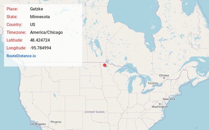
Full AddressGatzke, MN 56724
-
Coordinates48.4247243, -95.7849938
-
LocationGatzke , Minnesota , US
-
TimezoneAmerica/Chicago
-
Current Local Time2:43:52 PM America/ChicagoMonday, June 16, 2025
-
Page Views0
About Gatzke
Gatzke is an unincorporated community in Rollis Township, Marshall County, Minnesota, United States.
The community is located east of Middle River and northwest of Grygla. Marshall County State-Aid Highway 6 serves as a main route in the community. Agassiz National Wildlife Refuge is nearby.
Nearby Places
Found 10 places within 50 miles

Grygla
11.5 mi
18.5 km
Grygla, MN 56727
Get directions

Middle River
17.4 mi
28.0 km
Middle River, MN 56737
Get directions
Goodridge
19.4 mi
31.2 km
Goodridge, MN 56725
Get directions

Strathcona
19.7 mi
31.7 km
Strathcona, MN 56759
Get directions
Holt
20.8 mi
33.5 km
Holt, MN 56738
Get directions

Newfolden
25.5 mi
41.0 km
Newfolden, MN 56738
Get directions

Greenbush
26.3 mi
42.3 km
Greenbush, MN 56726
Get directions
Badger
26.9 mi
43.3 km
Badger, MN 56714
Get directions

Roseau
29.1 mi
46.8 km
Roseau, MN 56751
Get directions

Strandquist
30.7 mi
49.4 km
Strandquist, MN 56758
Get directions
Location Links
Local Weather
Weather Information
Coming soon!
Location Map
Static map view of Gatzke, Minnesota
Browse Places by Distance
Places within specific distances from Gatzke
Short Distances
Long Distances
Click any distance to see all places within that range from Gatzke. Distances shown in miles (1 mile ≈ 1.61 kilometers).