Distance to Gebo, Wyoming

Calculating Your Route
Just a moment while we process your request...
Location Information
-
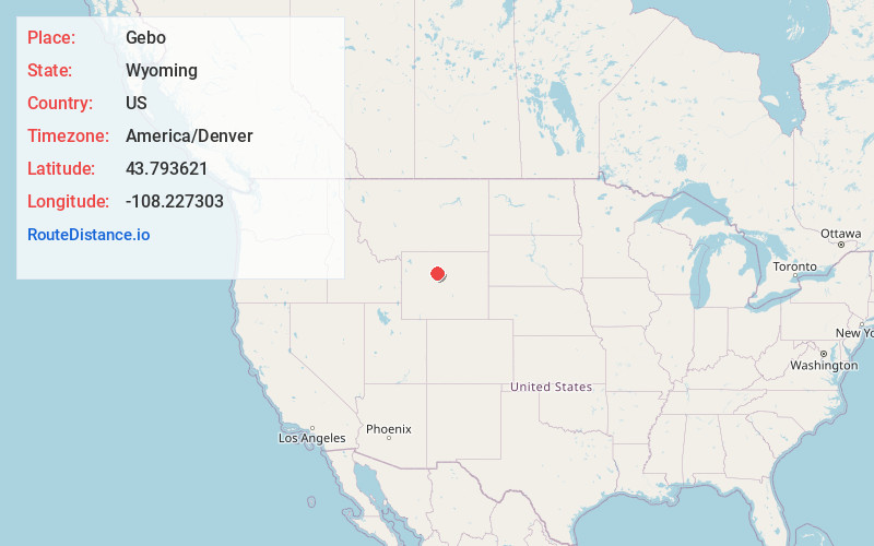
Full AddressGebo, WY 82443
-
Coordinates43.793621, -108.2273029
-
LocationGebo , Wyoming , US
-
TimezoneAmerica/Denver
-
Current Local Time10:31:22 AM America/DenverThursday, June 19, 2025
-
Page Views0
About Gebo
Gebo is a ghost town located in Hot Springs County in the U.S. state of Wyoming. It is located approximately 11 miles north of Thermopolis.
The town was established as a coal town in 1907 alongside the nearby camps of Crosby and Kirby.


Nearby Places
Found 10 places within 50 miles

Kirby
2.4 mi
3.9 km
Kirby, WY
Get directions
Lucerne
4.8 mi
7.7 km
Lucerne, WY 82443
Get directions

Thermopolis
10.2 mi
16.4 km
Thermopolis, WY 82443
Get directions
East Thermopolis
10.3 mi
16.6 km
East Thermopolis, WY 82443
Get directions
Owl Creek
17.0 mi
27.4 km
Owl Creek, WY 82443
Get directions

Worland
20.5 mi
33.0 km
Worland, WY 82401
Get directions
Manderson
35.4 mi
57.0 km
Manderson, WY 82432
Get directions

Shoshoni
39.0 mi
62.8 km
Shoshoni, WY 82649
Get directions

Meeteetse
40.7 mi
65.5 km
Meeteetse, WY 82433
Get directions

Basin
41.6 mi
66.9 km
Basin, WY 82410
Get directions
Location Links
Local Weather
Weather Information
Coming soon!
Location Map
Static map view of Gebo, Wyoming
Browse Places by Distance
Places within specific distances from Gebo
Short Distances
Long Distances
Click any distance to see all places within that range from Gebo. Distances shown in miles (1 mile ≈ 1.61 kilometers).