Distance to Genoa, Arkansas

Calculating Your Route
Just a moment while we process your request...
Location Information
-
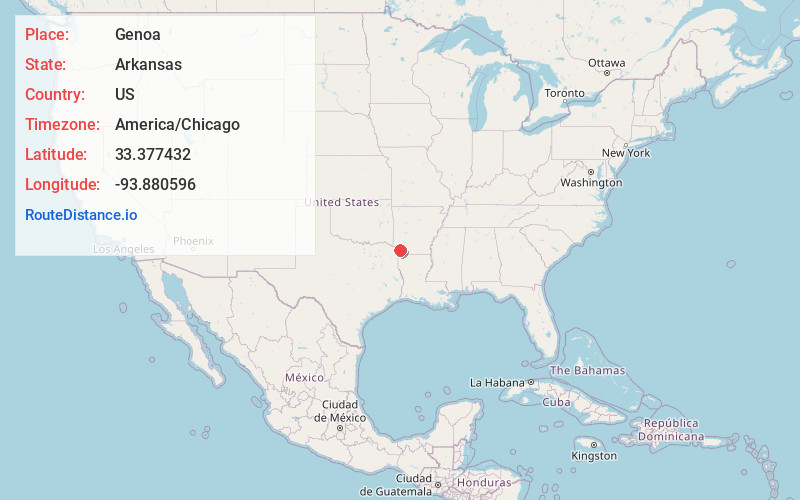
Full AddressGenoa, AR
-
Coordinates33.3774323, -93.8805955
-
LocationGenoa , Arkansas , US
-
TimezoneAmerica/Chicago
-
Current Local Time7:48:12 PM America/ChicagoWednesday, June 4, 2025
-
Page Views0
About Genoa
Genoa is an unincorporated community and census-designated place in Miller County, Arkansas, United States. It was first listed as a CDP in the 2020 census with a population of 972. It is located 6 to 12 miles east of Texarkana along Highway 196.


Nearby Places
Found 10 places within 50 miles

Texarkana
9.7 mi
15.6 km
Texarkana, AR 71854
Get directions

Texarkana
10.2 mi
16.4 km
Texarkana, TX
Get directions

Wake Village
13.5 mi
21.7 km
Wake Village, TX
Get directions

Nash
15.1 mi
24.3 km
Nash, TX
Get directions
Red Lick
17.9 mi
28.8 km
Red Lick, TX 75503
Get directions
Redwater
21.4 mi
34.4 km
Redwater, TX
Get directions

Queen City
22.2 mi
35.7 km
Queen City, TX 75572
Get directions

Stamps
22.2 mi
35.7 km
Stamps, AR 71860
Get directions

Hooks
24.3 mi
39.1 km
Hooks, TX 75561
Get directions

Atlanta
24.5 mi
39.4 km
Atlanta, TX
Get directions
Location Links
Local Weather
Weather Information
Coming soon!
Location Map
Static map view of Genoa, Arkansas
Browse Places by Distance
Places within specific distances from Genoa
Short Distances
Long Distances
Click any distance to see all places within that range from Genoa. Distances shown in miles (1 mile ≈ 1.61 kilometers).