Distance to Genoa, Nevada

Calculating Your Route
Just a moment while we process your request...
Location Information
-
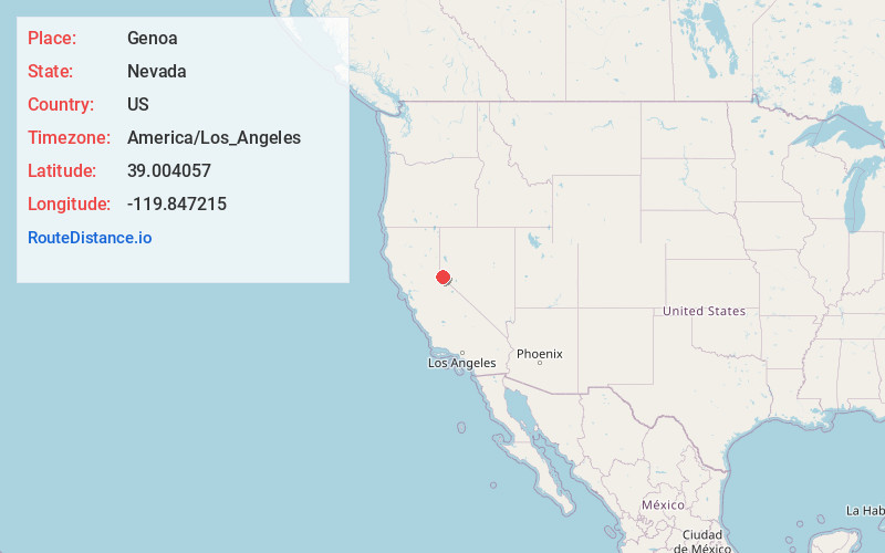
Full AddressGenoa, NV
-
Coordinates39.0040567, -119.8472149
-
LocationGenoa , Nevada , US
-
TimezoneAmerica/Los_Angeles
-
Current Local Time4:11:58 AM America/Los_AngelesSaturday, June 21, 2025
-
Page Views0
About Genoa
Genoa is an unincorporated town in Douglas County, Nevada, United States. Founded in 1851, it was the first settlement in what became the Nevada Territory. It is situated within Carson River Valley and is approximately 42 miles south of Reno. The population was 939 at the 2010 census.


Nearby Places
Found 10 places within 50 miles

Kingsbury
3.7 mi
6.0 km
Kingsbury, NV
Get directions

Minden
5.6 mi
9.0 km
Minden, NV 89423
Get directions

Indian Hills
6.6 mi
10.6 km
Indian Hills, NV
Get directions

Gardnerville
6.8 mi
10.9 km
Gardnerville, NV
Get directions

Johnson Lane
7.4 mi
11.9 km
Johnson Lane, NV 89423
Get directions

East Valley
9.1 mi
14.6 km
East Valley, NV
Get directions

Gardnerville Ranchos
9.8 mi
15.8 km
Gardnerville Ranchos, NV 89460
Get directions
Ruhenstroth
11.7 mi
18.8 km
Ruhenstroth, NV 89410
Get directions

Carson City
11.8 mi
19.0 km
Carson City, NV
Get directions

Meyers
14.2 mi
22.9 km
Meyers, CA 96150
Get directions
Location Links
Local Weather
Weather Information
Coming soon!
Location Map
Static map view of Genoa, Nevada
Browse Places by Distance
Places within specific distances from Genoa
Short Distances
Long Distances
Click any distance to see all places within that range from Genoa. Distances shown in miles (1 mile ≈ 1.61 kilometers).