Distance to Georgetown, Tennessee

Calculating Your Route
Just a moment while we process your request...
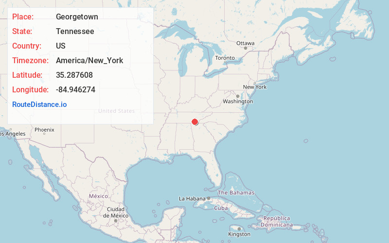
Location Information
-
Full AddressGeorgetown, TN 37336
-
Coordinates35.2876077, -84.9462743
-
LocationGeorgetown , Tennessee , US
-
TimezoneAmerica/New_York
-
Current Local Time11:26:29 AM America/New_YorkMonday, June 23, 2025
-
Page Views0
About Georgetown
Georgetown is an unincorporated community at the junction of Bradley, Hamilton, and Meigs counties, Tennessee. The community is located along State Route 60 near its intersection with State Route 58.


Nearby Places
Found 10 places within 50 miles

Hopewell
4.1 mi
6.6 km
Hopewell, TN 37312
Get directions

Freewill
4.6 mi
7.4 km
Freewill, Hopewell, TN 37312
Get directions
Eureka
5.0 mi
8.0 km
Eureka, TN 37310
Get directions
Brittsville
5.0 mi
8.0 km
Brittsville, TN 37336
Get directions
Hidden Valley
5.5 mi
8.9 km
Hidden Valley, TN 37312
Get directions
Shore Acres
7.6 mi
12.2 km
Shore Acres, TN 37379
Get directions
Sequoia Grove
7.6 mi
12.2 km
Sequoia Grove, Cleveland, TN 37312
Get directions
Lamontville
8.6 mi
13.8 km
Lamontville, TN 37309
Get directions
Bellefounte
9.0 mi
14.5 km
Bellefounte, TN 37312
Get directions

Hiwassee River
9.2 mi
14.8 km
Hiwassee River, Tennessee 37308
Get directions
Location Links
Local Weather
Weather Information
Coming soon!
Location Map
Static map view of Georgetown, Tennessee
Browse Places by Distance
Places within specific distances from Georgetown
Short Distances
Long Distances
Click any distance to see all places within that range from Georgetown. Distances shown in miles (1 mile ≈ 1.61 kilometers).