Distance to Gheens, Louisiana

Calculating Your Route
Just a moment while we process your request...
Location Information
-
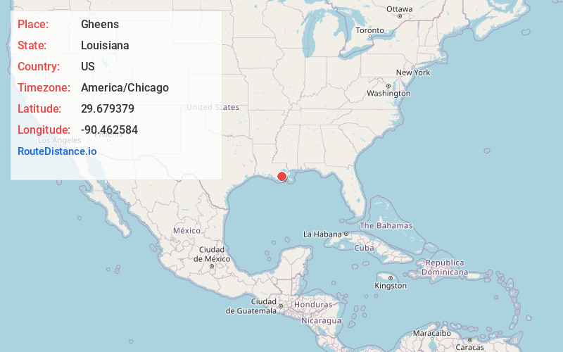
Full AddressGheens, LA 70355
-
Coordinates29.6793793, -90.4625836
-
LocationGheens , Louisiana , US
-
TimezoneAmerica/Chicago
-
Current Local Time5:51:01 PM America/ChicagoFriday, June 20, 2025
-
Page Views0
About Gheens
Gheens is an unincorporated community in Lafourche Parish, Louisiana, United States. Its ZIP code is 70355.


Nearby Places
Found 10 places within 50 miles

Mathews
5.1 mi
8.2 km
Mathews, LA
Get directions

Lockport
5.1 mi
8.2 km
Lockport, LA 70374
Get directions

Raceland
8.8 mi
14.2 km
Raceland, LA 70394
Get directions

Larose
8.8 mi
14.2 km
Larose, LA
Get directions
Bayou Gauche
9.1 mi
14.6 km
Bayou Gauche, LA
Get directions

Des Allemands
10.0 mi
16.1 km
Des Allemands, LA 70030
Get directions

Cut Off
12.0 mi
19.3 km
Cut Off, LA 70345
Get directions
Bourg
12.1 mi
19.5 km
Bourg, LA 70343
Get directions
Presquille
13.5 mi
21.7 km
Presquille, LA
Get directions

Paradis
13.8 mi
22.2 km
Paradis, LA
Get directions
Location Links
Local Weather
Weather Information
Coming soon!
Location Map
Static map view of Gheens, Louisiana
Browse Places by Distance
Places within specific distances from Gheens
Short Distances
Long Distances
Click any distance to see all places within that range from Gheens. Distances shown in miles (1 mile ≈ 1.61 kilometers).