Distance to Gibbon, Oklahoma

Calculating Your Route
Just a moment while we process your request...
Location Information
-
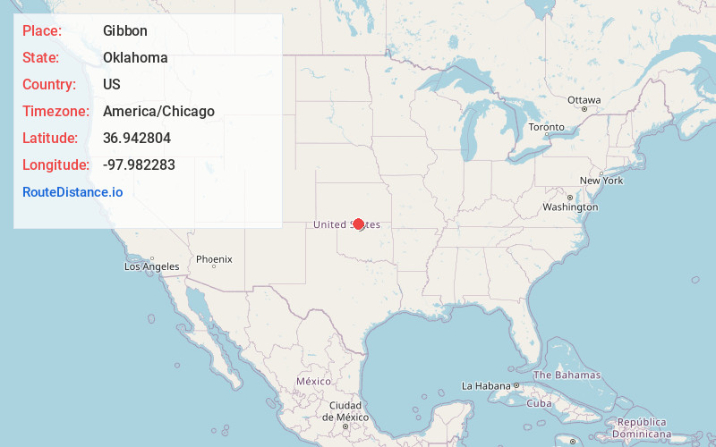
Full AddressGibbon, OK 73758
-
Coordinates36.9428038, -97.9822827
-
LocationGibbon , Oklahoma , US
-
TimezoneAmerica/Chicago
-
Current Local Time4:58:32 AM America/ChicagoSaturday, June 21, 2025
-
Page Views0
Nearby Places
Found 10 places within 50 miles

Manchester
4.7 mi
7.6 km
Manchester, OK 73758
Get directions

Wakita
5.3 mi
8.5 km
Wakita, OK 73771
Get directions

Sand Creek
7.4 mi
11.9 km
Sand Creek, OK 73771
Get directions

Bluff City
11.0 mi
17.7 km
Bluff City, KS 67018
Get directions
Clyde
11.1 mi
17.9 km
Clyde, OK 73759
Get directions
Hawk
11.7 mi
18.8 km
Hawk, Township 3, KS 67003
Get directions
Waldron
11.8 mi
19.0 km
Waldron, KS 67150
Get directions
Metcalf
13.9 mi
22.4 km
Metcalf, Bluff Township, KS 67022
Get directions
Ruella
14.6 mi
23.5 km
Ruella, Township 2, KS 67150
Get directions

Anthony
14.8 mi
23.8 km
Anthony, KS
Get directions
Location Links
Local Weather
Weather Information
Coming soon!
Location Map
Static map view of Gibbon, Oklahoma
Browse Places by Distance
Places within specific distances from Gibbon
Short Distances
Long Distances
Click any distance to see all places within that range from Gibbon. Distances shown in miles (1 mile ≈ 1.61 kilometers).