Distance to Gifford Pinchot National Forest, Washington

Calculating Your Route
Just a moment while we process your request...
Location Information
-
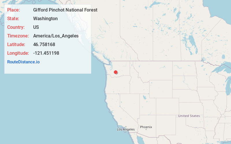
Full AddressGifford Pinchot National Forest, Washington 98377
-
Coordinates46.7581681, -121.4511975
-
LocationWashington , US
-
TimezoneAmerica/Los_Angeles
-
Current Local Time6:24:06 AM America/Los_AngelesFriday, May 23, 2025
-
Page Views0
About Gifford Pinchot National Forest
1.32 million acres of mountains, rivers & forestland for hiking, camping, fishing & more.


Nearby Places
Found 10 places within 50 miles

Goose Prairie
12.9 mi
20.8 km
Goose Prairie, WA 98937
Get directions

Sunrise
14.1 mi
22.7 km
Sunrise, WA 98304
Get directions

Packwood
14.7 mi
23.7 km
Packwood, WA
Get directions

Rimrock
16.7 mi
26.9 km
Rimrock, WA 98937
Get directions

Longmire
17.1 mi
27.5 km
Longmire, WA 98304
Get directions

Cougar Valley
18.6 mi
29.9 km
Cougar Valley, WA 98937
Get directions
Snoquera
20.1 mi
32.3 km
Snoquera, WA 98022
Get directions

Berry Patch
20.5 mi
33.0 km
Berry Patch, WA 98377
Get directions
Cliffdell
22.3 mi
35.9 km
Cliffdell, WA 98937
Get directions
Pinecliff
22.9 mi
36.9 km
Pinecliff, WA 98937
Get directions
Location Links
Local Weather
Weather Information
Coming soon!
Location Map
Static map view of Gifford Pinchot National Forest, Washington
Browse Places by Distance
Places within specific distances from Gifford Pinchot National Forest
Short Distances
Long Distances
Click any distance to see all places within that range from Gifford Pinchot National Forest. Distances shown in miles (1 mile ≈ 1.61 kilometers).