Distance to Gilbertsville, Pennsylvania

Calculating Your Route
Just a moment while we process your request...
Location Information
-
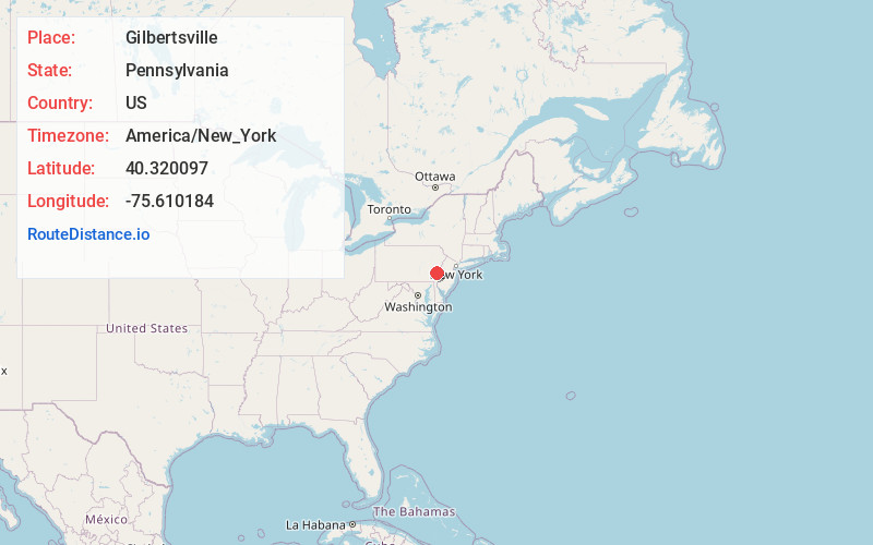
Full AddressGilbertsville, PA
-
Coordinates40.3200972, -75.6101844
-
LocationGilbertsville , Pennsylvania , US
-
TimezoneAmerica/New_York
-
Current Local Time9:37:15 PM America/New_YorkSunday, June 15, 2025
-
Page Views0
About Gilbertsville
Gilbertsville is a census-designated place in Douglass Township in northwestern Montgomery County, Pennsylvania, United States. It is located at the junction of Routes 73 and 100. The population was 4,832 at the 2010 census, and the ZIP code is 19525.


Nearby Places
Found 10 places within 50 miles

New Hanover Township
2.5 mi
4.0 km
New Hanover Township, PA
Get directions

Upper Pottsgrove Township
2.8 mi
4.5 km
Upper Pottsgrove Township, PA 19464
Get directions
Douglass Township
4.0 mi
6.4 km
Douglass Township, PA
Get directions
Lower Pottsgrove Township
4.8 mi
7.7 km
Lower Pottsgrove Township, PA
Get directions

Sanatoga
5.2 mi
8.4 km
Sanatoga, PA 19464
Get directions

Pottstown
5.6 mi
9.0 km
Pottstown, PA 19464
Get directions

Stowe
5.9 mi
9.5 km
Stowe, PA 19464
Get directions
Upper Hanover Township
6.3 mi
10.1 km
Upper Hanover Township, PA
Get directions

Perkiomenville
6.9 mi
11.1 km
Perkiomenville, PA 18074
Get directions
East Coventry Township
7.8 mi
12.6 km
East Coventry Township, PA
Get directions
Location Links
Local Weather
Weather Information
Coming soon!
Location Map
Static map view of Gilbertsville, Pennsylvania
Browse Places by Distance
Places within specific distances from Gilbertsville
Short Distances
Long Distances
Click any distance to see all places within that range from Gilbertsville. Distances shown in miles (1 mile ≈ 1.61 kilometers).