Distance to Gilchrist, Oregon

Calculating Your Route
Just a moment while we process your request...
Location Information
-
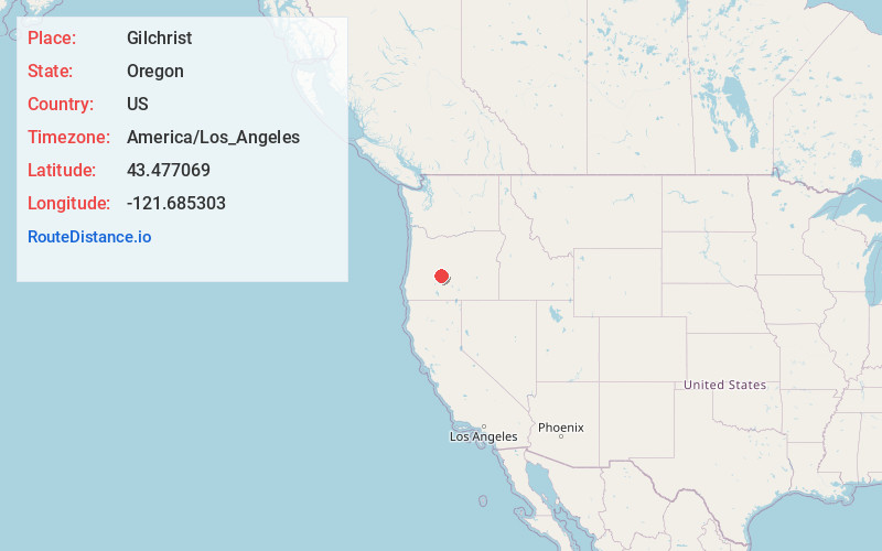
Full AddressGilchrist, OR 97733
-
Coordinates43.4770694, -121.6853026
-
LocationGilchrist , Oregon , US
-
TimezoneAmerica/Los_Angeles
-
Current Local Time2:26:03 PM America/Los_AngelesSaturday, June 14, 2025
-
Page Views0
About Gilchrist
Gilchrist is a census-designated place in Klamath County, Oregon, United States. The community is located on U.S. Route 97 between Bend and Klamath Falls.

Nearby Places
Found 9 places within 50 miles

La Pine
16.2 mi
26.1 km
La Pine, OR 97739
Get directions

Three Rivers
26.1 mi
42.0 km
Three Rivers, OR 97707
Get directions

Sunriver
29.9 mi
48.1 km
Sunriver, OR 97707
Get directions

Deschutes River Woods
39.1 mi
62.9 km
Deschutes River Woods, OR 97702
Get directions

Seventh Mountain
39.6 mi
63.7 km
Seventh Mountain, OR 97702
Get directions

Oakridge
43.1 mi
69.4 km
Oakridge, OR
Get directions

Bend
44.2 mi
71.1 km
Bend, OR
Get directions

Westfir
45.0 mi
72.4 km
Westfir, OR 97492
Get directions

Tumalo
49.7 mi
80.0 km
Tumalo, OR 97703
Get directions
Location Links
Local Weather
Weather Information
Coming soon!
Location Map
Static map view of Gilchrist, Oregon
Browse Places by Distance
Places within specific distances from Gilchrist
Short Distances
Long Distances
Click any distance to see all places within that range from Gilchrist. Distances shown in miles (1 mile ≈ 1.61 kilometers).