Distance to Gilcrest, Colorado

Calculating Your Route
Just a moment while we process your request...
Location Information
-
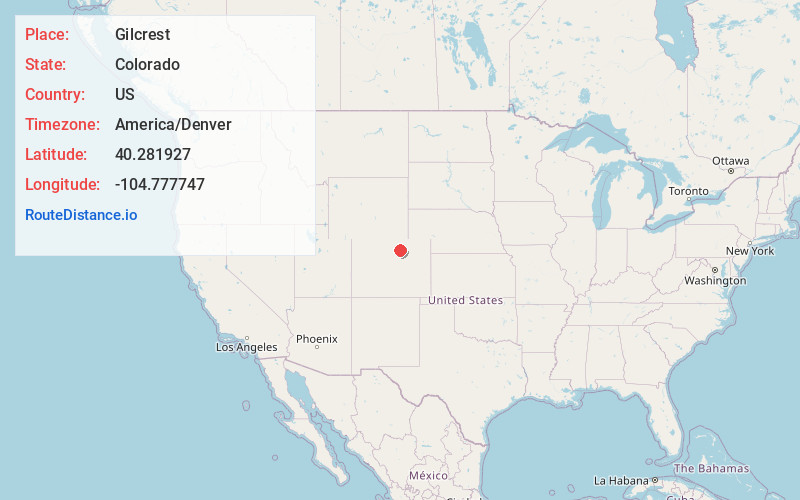
Full AddressGilcrest, CO
-
Coordinates40.2819266, -104.7777471
-
LocationGilcrest , Colorado , US
-
TimezoneAmerica/Denver
-
Current Local Time4:45:01 PM America/DenverFriday, June 20, 2025
-
Page Views0
About Gilcrest
The Town of Gilcrest is a Statutory Town located in Weld County, Colorado, United States. The town population was 1,029 at the 2020 United States census. Gilcrest is a part of the Greeley, CO Metropolitan Statistical Area and the Front Range Urban Corridor.
Nearby Places
Found 10 places within 50 miles

Platteville
5.2 mi
8.4 km
Platteville, CO
Get directions

Milliken
5.2 mi
8.4 km
Milliken, CO
Get directions

LaSalle
6.1 mi
9.8 km
LaSalle, CO 80645
Get directions

Evans
7.9 mi
12.7 km
Evans, CO
Get directions

Johnstown
8.0 mi
12.9 km
Johnstown, CO
Get directions

Greeley
10.4 mi
16.7 km
Greeley, CO
Get directions

Aristocrat Ranchettes
12.0 mi
19.3 km
Aristocrat Ranchettes, CO 80621
Get directions

Mead
12.1 mi
19.5 km
Mead, CO
Get directions

Kersey
13.5 mi
21.7 km
Kersey, CO
Get directions

Fort Lupton
13.8 mi
22.2 km
Fort Lupton, CO 80621
Get directions
Location Links
Local Weather
Weather Information
Coming soon!
Location Map
Static map view of Gilcrest, Colorado
Browse Places by Distance
Places within specific distances from Gilcrest
Short Distances
Long Distances
Click any distance to see all places within that range from Gilcrest. Distances shown in miles (1 mile ≈ 1.61 kilometers).