Distance to Gilmer, West Virginia

Calculating Your Route
Just a moment while we process your request...
Location Information
-
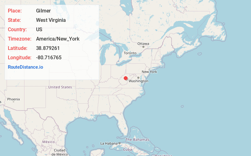
Full AddressGilmer, WV 26351
-
Coordinates38.879261, -80.716765
-
LocationGilmer , West Virginia , US
-
TimezoneAmerica/New_York
-
Current Local Time12:38:31 AM America/New_YorkThursday, June 19, 2025
-
Page Views0
About Gilmer
Gilmer is an unincorporated community in Gilmer County, West Virginia, United States. Gilmer is located along West Virginia Route 5 and the Little Kanawha River, 3 miles southeast of Sand Fork. Gilmer had a post office, which opened on November 28, 1905, and closed on November 2, 2002.
Nearby Places
Found 10 places within 50 miles

Sand Fork
3.0 mi
4.8 km
Sand Fork, WV
Get directions

Burnsville
3.7 mi
6.0 km
Burnsville, WV
Get directions

Glenville
7.5 mi
12.1 km
Glenville, WV 26351
Get directions
Bennett
8.2 mi
13.2 km
Bennett, WV 26447
Get directions
Bealls Mills
8.4 mi
13.5 km
Bealls Mills, WV 26452
Get directions
Troy
10.0 mi
16.1 km
Troy, WV 26384
Get directions
Gillooly
10.4 mi
16.7 km
Gillooly, WV 26452
Get directions

Flatwoods
11.4 mi
18.3 km
Flatwoods, WV
Get directions
Belfont
14.5 mi
23.3 km
Belfont, WV 26624
Get directions

Gassaway
14.6 mi
23.5 km
Gassaway, WV 26624
Get directions
Location Links
Local Weather
Weather Information
Coming soon!
Location Map
Static map view of Gilmer, West Virginia
Browse Places by Distance
Places within specific distances from Gilmer
Short Distances
Long Distances
Click any distance to see all places within that range from Gilmer. Distances shown in miles (1 mile ≈ 1.61 kilometers).