Distance to Gilson, Illinois

Calculating Your Route
Just a moment while we process your request...
Location Information
-
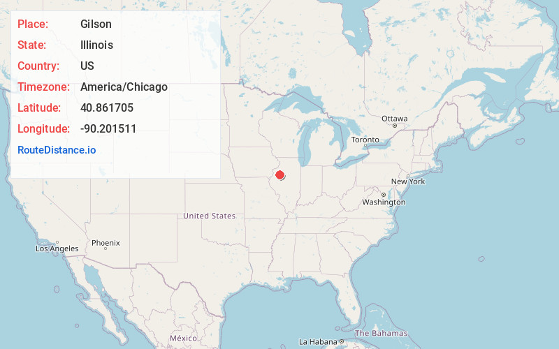
Full AddressGilson, IL 61436
-
Coordinates40.8617048, -90.2015111
-
LocationGilson , Illinois , US
-
TimezoneAmerica/Chicago
-
Current Local Time3:56:10 AM America/ChicagoTuesday, June 17, 2025
-
Page Views0
About Gilson
Gilson is an unincorporated census-designated place in Knox County, Illinois, and is located southeast of Galesburg. As of the 2010 Census, its population was 190. It is part of the Galesburg Micropolitan Statistical Area. Gilson is located just east of Illinois Route 97 along Knox County Highway 12.


Nearby Places
Found 10 places within 50 miles

Maquon
4.7 mi
7.6 km
Maquon, IL 61458
Get directions

Knoxville
5.4 mi
8.7 km
Knoxville, IL
Get directions
Oak Run
7.6 mi
12.2 km
Oak Run, IL 61428
Get directions

East Galesburg
8.2 mi
13.2 km
East Galesburg, IL
Get directions
Williamsfield
10.6 mi
17.1 km
Williamsfield, IL 61489
Get directions

Galesburg
10.7 mi
17.2 km
Galesburg, IL 61401
Get directions

London Mills
11.0 mi
17.7 km
London Mills, IL 61544
Get directions
Abingdon
11.2 mi
18.0 km
Abingdon, IL 61410
Get directions
Yates City
11.3 mi
18.2 km
Yates City, IL 61572
Get directions
Wataga
12.0 mi
19.3 km
Wataga, IL 61488
Get directions
Location Links
Local Weather
Weather Information
Coming soon!
Location Map
Static map view of Gilson, Illinois
Browse Places by Distance
Places within specific distances from Gilson
Short Distances
Long Distances
Click any distance to see all places within that range from Gilson. Distances shown in miles (1 mile ≈ 1.61 kilometers).