Distance to Ginger, Washington

Calculating Your Route
Just a moment while we process your request...
Location Information
-
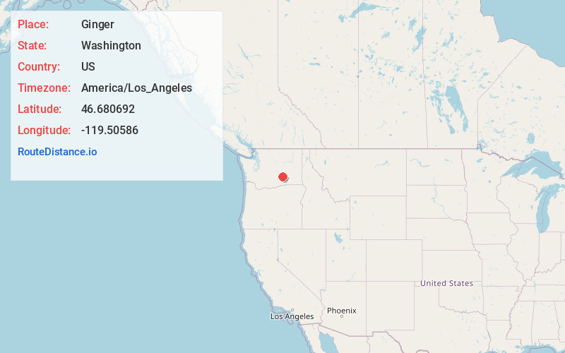
Full AddressGinger, WA 98944
-
Coordinates46.6806921, -119.5058597
-
LocationGinger , Washington , US
-
TimezoneAmerica/Los_Angeles
-
Current Local Time7:55:10 PM America/Los_AngelesWednesday, July 2, 2025
-
Page Views0
Nearby Places
Found 10 places within 50 miles

Royal City
16.3 mi
26.2 km
Royal City, WA 99357
Get directions

Basin City
17.8 mi
28.6 km
Basin City, WA 99343
Get directions

Othello
18.6 mi
29.9 km
Othello, WA 99344
Get directions

Mattawa
19.2 mi
30.9 km
Mattawa, WA 99349
Get directions

Desert Aire
20.2 mi
32.5 km
Desert Aire, WA 99349
Get directions

Beverly
22.7 mi
36.5 km
Beverly, WA 99321
Get directions

Mesa
24.8 mi
39.9 km
Mesa, WA 99343
Get directions

West Richland
26.9 mi
43.3 km
West Richland, WA
Get directions

Benton City
28.9 mi
46.5 km
Benton City, WA 99320
Get directions

Vantage
29.2 mi
47.0 km
Vantage, WA 98950
Get directions
Location Links
Local Weather
Weather Information
Coming soon!
Location Map
Static map view of Ginger, Washington
Browse Places by Distance
Places within specific distances from Ginger
Short Distances
Long Distances
Click any distance to see all places within that range from Ginger. Distances shown in miles (1 mile ≈ 1.61 kilometers).