Distance to Givhans Ferry State Park, South Carolina

Calculating Your Route
Just a moment while we process your request...
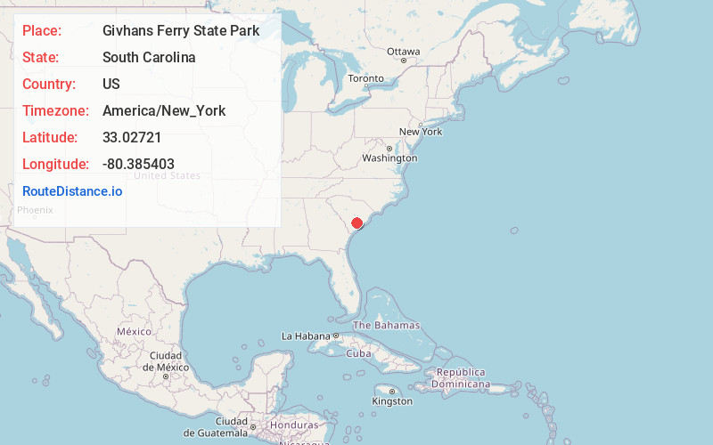
Location Information
-
Full AddressGivhans Ferry State Park, 746 County Rd S-18-30, Ridgeville, SC 29472
-
Coordinates33.0272104, -80.3854026
-
Street746 County Rd S-18-30
-
LocationRidgeville , South Carolina , US
-
TimezoneAmerica/New_York
-
Current Local Time7:34:31 AM America/New_YorkMonday, June 2, 2025
-
Page Views0
About Givhans Ferry State Park
Scenic park at the mouth of the Edisto River offering camping cabins, hiking, canoeing & more.


Nearby Places
Found 10 places within 50 miles

Givhans
3.0 mi
4.8 km
Givhans, SC 29472
Get directions
Norman Landing
3.2 mi
5.1 km
Norman Landing, SC 29472
Get directions
Holly Ridge
3.4 mi
5.5 km
Holly Ridge, SC 29435
Get directions

Ridgeville
6.2 mi
10.0 km
Ridgeville, SC 29472
Get directions
Lotts Crossroads
7.9 mi
12.7 km
Lotts Crossroads, SC 29483
Get directions

Cottageville
8.3 mi
13.4 km
Cottageville, SC 29435
Get directions
Cotton Hill
8.4 mi
13.5 km
Cotton Hill, SC 29483
Get directions

Knightsville
8.6 mi
13.8 km
Knightsville, SC 29483
Get directions

Jedburg
8.7 mi
14.0 km
Jedburg, SC 29483
Get directions
Gettysville
8.8 mi
14.2 km
Gettysville, SC 29426
Get directions
Location Links
Local Weather
Weather Information
Coming soon!
Location Map
Static map view of Givhans Ferry State Park, South Carolina
Browse Places by Distance
Places within specific distances from Givhans Ferry State Park
Short Distances
Long Distances
Click any distance to see all places within that range from Givhans Ferry State Park. Distances shown in miles (1 mile ≈ 1.61 kilometers).