Distance to Glastenbury, Vermont

Calculating Your Route
Just a moment while we process your request...
Location Information
-
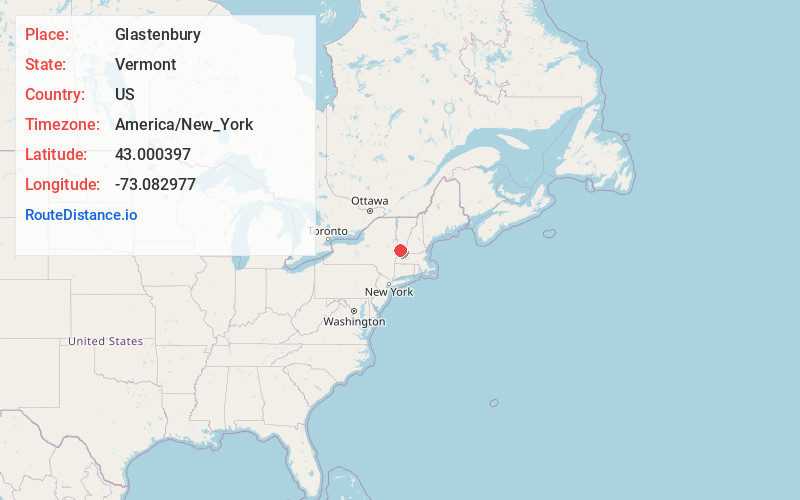
Full AddressGlastenbury, VT 05262
-
Coordinates43.0003967, -73.0829769
-
LocationGlastenbury , Vermont , US
-
TimezoneAmerica/New_York
-
Current Local Time3:52:58 PM America/New_YorkThursday, June 19, 2025
-
Page Views0
About Glastenbury
Glastenbury is a town in Bennington County, Vermont, United States. The town was unincorporated by an act of the state legislature in 1937. The population was 9 at the 2020 census.
Nearby Places
Found 10 places within 50 miles

Fayville
1.5 mi
2.4 km
Fayville, Glastenbury, VT 05262
Get directions
MacIntyre
1.7 mi
2.7 km
MacIntyre, Sunderland, VT 05252
Get directions

Shaftsbury
5.7 mi
9.2 km
Shaftsbury, VT
Get directions

Somerset
6.0 mi
9.7 km
Somerset, VT
Get directions

Arlington
6.3 mi
10.1 km
Arlington, VT 05250
Get directions

Sunderland
7.7 mi
12.4 km
Sunderland, VT
Get directions

Woodford
8.4 mi
13.5 km
Woodford, VT 05201
Get directions

Stratton
9.2 mi
14.8 km
Stratton, VT
Get directions

Stratton Mountain
10.0 mi
16.1 km
Stratton Mountain, Stratton, VT 05360
Get directions

Searsburg
10.1 mi
16.3 km
Searsburg, VT
Get directions
Location Links
Local Weather
Weather Information
Coming soon!
Location Map
Static map view of Glastenbury, Vermont
Browse Places by Distance
Places within specific distances from Glastenbury
Short Distances
Long Distances
Click any distance to see all places within that range from Glastenbury. Distances shown in miles (1 mile ≈ 1.61 kilometers).