Distance to Glen Carbon, Alabama

Calculating Your Route
Just a moment while we process your request...
Location Information
-
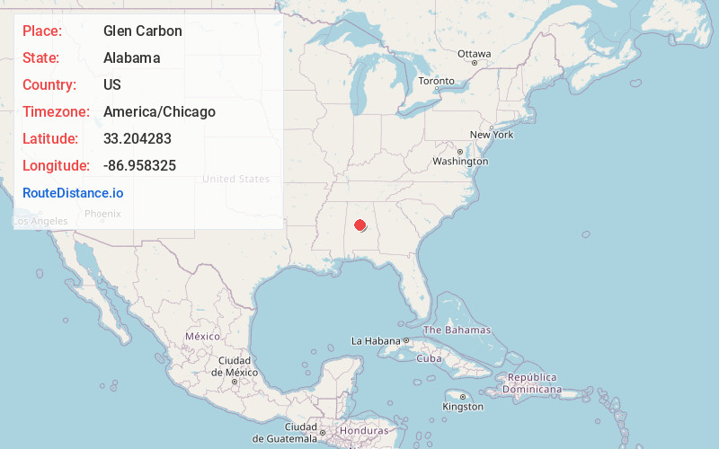
Full AddressGlen Carbon, AL 35115
-
Coordinates33.2042828, -86.9583248
-
LocationAlabama , US
-
TimezoneAmerica/Chicago
-
Current Local Time4:22:31 PM America/ChicagoSaturday, June 28, 2025
-
Page Views0
Nearby Places
Found 10 places within 50 miles

Superior
1.7 mi
2.7 km
Superior, AL 35080
Get directions
Boothton
2.5 mi
4.0 km
Boothton, AL 35115
Get directions
Garnsey Number 2
3.7 mi
6.0 km
Garnsey Number 2, AL 35115
Get directions
Pea Ridge
3.9 mi
6.3 km
Pea Ridge, AL 35115
Get directions
Tulse
4.3 mi
6.9 km
Tulse, AL 35080
Get directions
Brantleyville
4.9 mi
7.9 km
Brantleyville, AL 35114
Get directions
Coalmont
5.6 mi
9.0 km
Coalmont, AL 35080
Get directions
Garnsey
5.7 mi
9.2 km
Garnsey, AL 35035
Get directions
Gray Hill
5.8 mi
9.3 km
Gray Hill, AL 35184
Get directions
Seymour
7.3 mi
11.7 km
Seymour, AL 35035
Get directions
Location Links
Local Weather
Weather Information
Coming soon!
Location Map
Static map view of Glen Carbon, Alabama
Browse Places by Distance
Places within specific distances from Glen Carbon
Short Distances
Long Distances
Click any distance to see all places within that range from Glen Carbon. Distances shown in miles (1 mile ≈ 1.61 kilometers).