Distance to Glen Easton, West Virginia

Calculating Your Route
Just a moment while we process your request...
Location Information
-
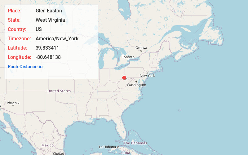
Full AddressGlen Easton, WV 26039
-
Coordinates39.8334111, -80.6481377
-
LocationGlen Easton , West Virginia , US
-
TimezoneAmerica/New_York
-
Current Local Time1:56:54 PM America/New_YorkTuesday, July 1, 2025
-
Page Views0
About Glen Easton
Glen Easton is an unincorporated community in southern Marshall County, West Virginia, United States. It lies along local roads southeast of the city of Moundsville, the county seat of Marshall County. Its elevation is 945 feet. It has a post office with the ZIP code 26039.


Nearby Places
Found 10 places within 50 miles

Cameron
4.4 mi
7.1 km
Cameron, WV 26033
Get directions

Lynn Camp
5.4 mi
8.7 km
Lynn Camp, WV 26033
Get directions

Moundsville
7.8 mi
12.6 km
Moundsville, WV 26041
Get directions

St Joseph
7.9 mi
12.7 km
St Joseph, WV 26055
Get directions

Powhatan Point
9.1 mi
14.6 km
Powhatan Point, OH 43942
Get directions
McCracken
9.2 mi
14.8 km
McCracken, Aleppo Township, PA 15380
Get directions

Glen Dale
9.7 mi
15.6 km
Glen Dale, WV 26038
Get directions
Steinersville
10.0 mi
16.1 km
Steinersville, York Township, OH 43942
Get directions
Aleppo
10.7 mi
17.2 km
Aleppo, PA
Get directions

Shadyside
10.9 mi
17.5 km
Shadyside, OH 43947
Get directions
Location Links
Local Weather
Weather Information
Coming soon!
Location Map
Static map view of Glen Easton, West Virginia
Browse Places by Distance
Places within specific distances from Glen Easton
Short Distances
Long Distances
Click any distance to see all places within that range from Glen Easton. Distances shown in miles (1 mile ≈ 1.61 kilometers).