Distance to Glen Haven, Colorado

Calculating Your Route
Just a moment while we process your request...
Location Information
-
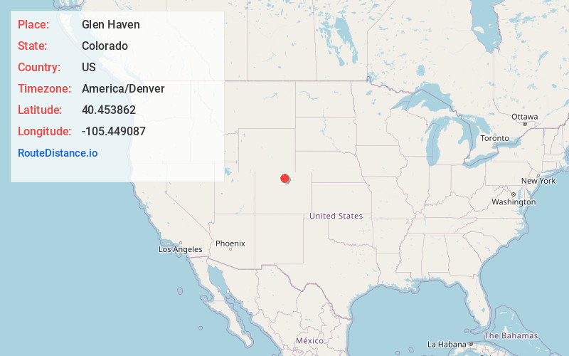
Full AddressGlen Haven, CO
-
Coordinates40.4538617, -105.4490869
-
LocationGlen Haven , Colorado , US
-
TimezoneAmerica/Denver
-
Current Local Time1:30:10 PM America/DenverFriday, June 13, 2025
-
Page Views0
About Glen Haven
Glen Haven is an unincorporated community and a U.S. Post Office in Larimer County, Colorado, United States. The Glen Haven Post Office has the ZIP Code 80532.


Nearby Places
Found 10 places within 50 miles

Glen Comfort
4.2 mi
6.8 km
Glen Comfort, CO 80515
Get directions
Loveland Heights
4.5 mi
7.2 km
Loveland Heights, CO 80515
Get directions
Waltonia
5.3 mi
8.5 km
Waltonia, CO 80515
Get directions
Olympus Heights
5.6 mi
9.0 km
Olympus Heights, CO 80517
Get directions

Drake
5.9 mi
9.5 km
Drake, CO 80515
Get directions

Stanley Park
6.3 mi
10.1 km
Stanley Park, Estes Park, CO 80517
Get directions

Estes Park
6.5 mi
10.5 km
Estes Park, CO 80517
Get directions
Cedar Cove
10.0 mi
16.1 km
Cedar Cove, CO 80537
Get directions
Little Dam
12.1 mi
19.5 km
Little Dam, CO 80538
Get directions

Masonville
12.7 mi
20.4 km
Masonville, CO 80538
Get directions
Location Links
Local Weather
Weather Information
Coming soon!
Location Map
Static map view of Glen Haven, Colorado
Browse Places by Distance
Places within specific distances from Glen Haven
Short Distances
Long Distances
Click any distance to see all places within that range from Glen Haven. Distances shown in miles (1 mile ≈ 1.61 kilometers).