Distance to Glendale, Arizona

Calculating Your Route
Just a moment while we process your request...
Location Information
-
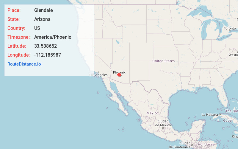
Full AddressGlendale, AZ
-
Coordinates33.5386523, -112.1859866
-
LocationGlendale , Arizona , US
-
TimezoneAmerica/Phoenix
-
Current Local Time8:57:11 AM America/PhoenixThursday, June 19, 2025
-
Website
-
Page Views0
About Glendale
Glendale is a city in Maricopa County, Arizona, United States. Located about nine miles northwest of the state capital Phoenix, Glendale is known for State Farm Stadium, which is the home of the Arizona Cardinals football team. The city also contains the Arrowhead Towne Center shopping mall.


Nearby Places
Found 1 places within 50 miles

Location Links
Local Weather
Weather Information
Coming soon!
Location Map
Static map view of Glendale, Arizona
Browse Places by Distance
Places within specific distances from Glendale
Short Distances
Long Distances
Click any distance to see all places within that range from Glendale. Distances shown in miles (1 mile ≈ 1.61 kilometers).