Distance to Glendale Heights, West Virginia

Calculating Your Route
Just a moment while we process your request...
Location Information
-
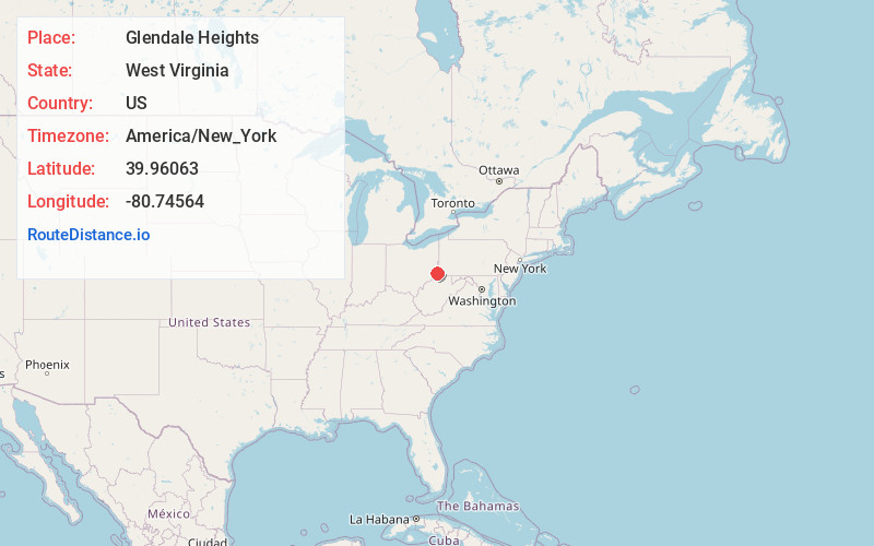
Full AddressGlendale Heights, WV 26038
-
Coordinates39.9606297, -80.7456399
-
LocationWest Virginia , US
-
TimezoneAmerica/New_York
-
Current Local Time1:11:08 PM America/New_YorkSaturday, May 31, 2025
-
Page Views0
Nearby Places
Found 10 places within 50 miles

Shadyside
0.8 mi
1.3 km
Shadyside, OH 43947
Get directions

Glen Dale
1.0 mi
1.6 km
Glen Dale, WV 26038
Get directions

McMechen
2.0 mi
3.2 km
McMechen, WV
Get directions

Moundsville
2.8 mi
4.5 km
Moundsville, WV 26041
Get directions

Bellaire
3.8 mi
6.1 km
Bellaire, OH 43906
Get directions

Benwood
4.0 mi
6.4 km
Benwood, WV
Get directions
Round Bottom
4.5 mi
7.2 km
Round Bottom, West Virginia 26041
Get directions
Vadis
4.9 mi
7.9 km
Vadis, Mead Township, OH 43933
Get directions
St Joe
5.2 mi
8.4 km
St Joe, Pultney Township, OH 43906
Get directions
Limestone
5.6 mi
9.0 km
Limestone, WV 26038
Get directions
Location Links
Local Weather
Weather Information
Coming soon!
Location Map
Static map view of Glendale Heights, West Virginia
Browse Places by Distance
Places within specific distances from Glendale Heights
Short Distances
Long Distances
Click any distance to see all places within that range from Glendale Heights. Distances shown in miles (1 mile ≈ 1.61 kilometers).