Distance to Glendale, Rhode Island

Calculating Your Route
Just a moment while we process your request...
Location Information
-
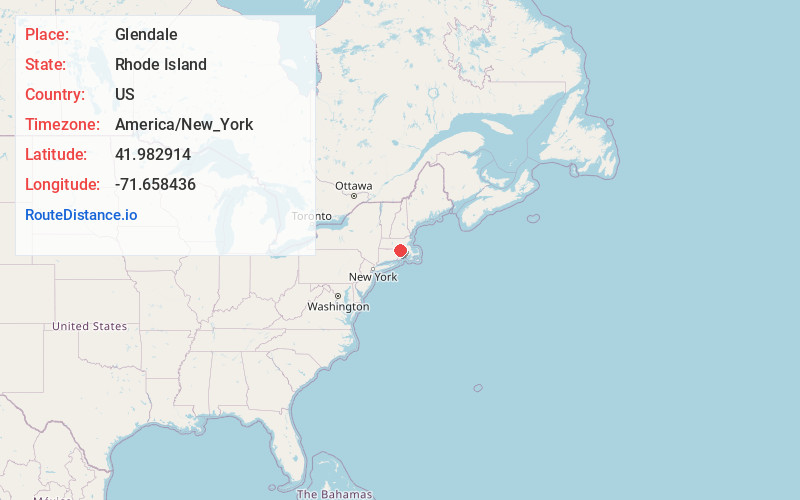
Full AddressGlendale, Burrillville, RI
-
Coordinates41.9829138, -71.6584358
-
NeighborhoodGlendale
-
LocationBurrillville , Rhode Island , US
-
TimezoneAmerica/New_York
-
Current Local Time9:20:54 PM America/New_YorkSunday, May 25, 2025
-
Page Views0
About Glendale
Glendale is a village in the town of Burrillville, Rhode Island, United States. It is located at 41°58′34″N 71°37′59″W. The United States Postal Service has assigned Glendale the ZIP Code 02826.

Nearby Places
Found 10 places within 50 miles

Burrillville
1.8 mi
2.9 km
Burrillville, RI
Get directions

Mohegan
1.9 mi
3.1 km
Mohegan, Burrillville, RI 02830
Get directions
Nasonville
2.1 mi
3.4 km
Nasonville, Burrillville, RI 02830
Get directions
Round Top
2.4 mi
3.9 km
Round Top, Burrillville, RI 02830
Get directions
Gazzaville
3.0 mi
4.8 km
Gazzaville, Burrillville, RI 02839
Get directions
Oak Valley
3.2 mi
5.1 km
Oak Valley, Burrillville, RI 02830
Get directions
Tarkiln
3.3 mi
5.3 km
Tarkiln, Burrillville, RI 02830
Get directions

North Smithfield
4.2 mi
6.8 km
North Smithfield, RI
Get directions
Millville
5.0 mi
8.0 km
Millville, MA 01529
Get directions

Glocester
5.7 mi
9.2 km
Glocester, RI
Get directions
Location Links
Local Weather
Weather Information
Coming soon!
Location Map
Static map view of Glendale, Rhode Island
Browse Places by Distance
Places within specific distances from Glendale
Short Distances
Long Distances
Click any distance to see all places within that range from Glendale. Distances shown in miles (1 mile ≈ 1.61 kilometers).