Distance to Glenford, Virginia

Calculating Your Route
Just a moment while we process your request...
Location Information
-
Full AddressGlenford, VA 24210
-
Coordinates36.7901114, -81.9295698
-
LocationVirginia , US
-
TimezoneAmerica/New_York
-
Current Local Time12:55:32 AM America/New_YorkSunday, June 1, 2025
-
Page Views0
Nearby Places
Found 10 places within 50 miles

Shortsville
1.7 mi
2.7 km
Shortsville, VA 24210
Get directions

Meadowview
4.2 mi
6.8 km
Meadowview, VA 24361
Get directions
Emory
5.4 mi
8.7 km
Emory, VA
Get directions

Abingdon
6.1 mi
9.8 km
Abingdon, VA
Get directions
Neff
6.6 mi
10.6 km
Neff, VA 24361
Get directions
Rockdell
7.1 mi
11.4 km
Rockdell, VA 24370
Get directions
Butts
7.1 mi
11.4 km
Butts, VA 24210
Get directions
Stone Mill
7.2 mi
11.6 km
Stone Mill, Abingdon, VA 24210
Get directions
Watauga
7.7 mi
12.4 km
Watauga, VA 24211
Get directions
Keywood
8.0 mi
12.9 km
Keywood, VA 24340
Get directions
Location Links
Local Weather
Weather Information
Coming soon!
Location Map
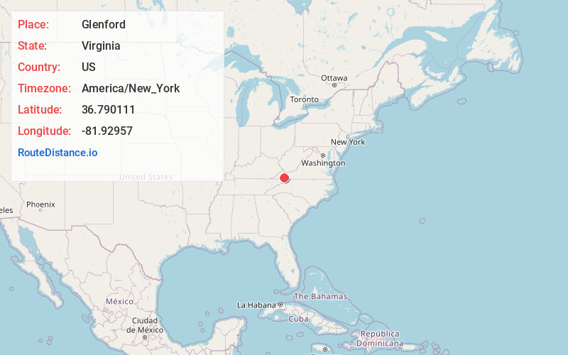
Static map view of Glenford, Virginia
Browse Places by Distance
Places within specific distances from Glenford
Short Distances
Long Distances
Click any distance to see all places within that range from Glenford. Distances shown in miles (1 mile ≈ 1.61 kilometers).