Distance to Glenhayes, West Virginia

Calculating Your Route
Just a moment while we process your request...
Location Information
-
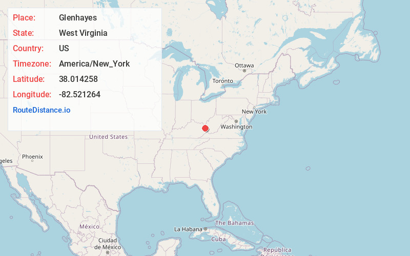
Full AddressGlenhayes, WV 25514
-
Coordinates38.0142575, -82.5212642
-
LocationGlenhayes , West Virginia , US
-
TimezoneAmerica/New_York
-
Current Local Time3:42:41 AM America/New_YorkMonday, June 2, 2025
-
Page Views0
About Glenhayes
Glenhayes is an unincorporated community in Wayne County, West Virginia, United States. Glenhayes is located on the Tug Fork and U.S. Route 52, 8.1 miles southeast of Fort Gay. Glenhayes had a post office, which closed on November 9, 2002.
Nearby Places
Found 10 places within 50 miles

Clifford
1.0 mi
1.6 km
Clifford, KY 41230
Get directions
Webb
3.7 mi
6.0 km
Webb, WV 25669
Get directions
Saltpetre
4.9 mi
7.9 km
Saltpetre, WV 25514
Get directions
Dunlow
4.9 mi
7.9 km
Dunlow, WV 25511
Get directions
Gallup
5.5 mi
8.9 km
Gallup, KY 41230
Get directions
Effie
5.6 mi
9.0 km
Effie, WV 25514
Get directions
Quaker
5.7 mi
9.2 km
Quaker, WV 25517
Get directions
Job
6.8 mi
10.9 km
Job, KY 41224
Get directions
Peach Orchard
7.1 mi
11.4 km
Peach Orchard, KY 41230
Get directions

Fort Gay
8.1 mi
13.0 km
Fort Gay, WV 25514
Get directions
Location Links
Local Weather
Weather Information
Coming soon!
Location Map
Static map view of Glenhayes, West Virginia
Browse Places by Distance
Places within specific distances from Glenhayes
Short Distances
Long Distances
Click any distance to see all places within that range from Glenhayes. Distances shown in miles (1 mile ≈ 1.61 kilometers).