Distance to Glenn, California

Calculating Your Route
Just a moment while we process your request...
Location Information
-
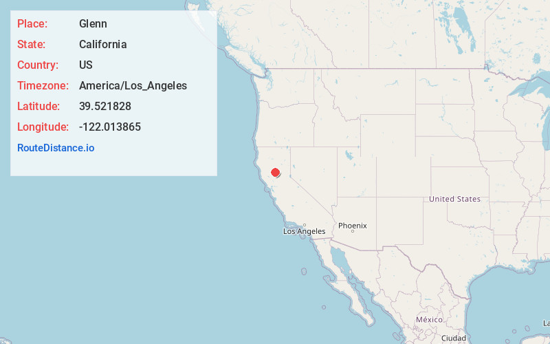
Full AddressGlenn, CA 95943
-
Coordinates39.5218283, -122.0138651
-
LocationGlenn , California , US
-
TimezoneAmerica/Los_Angeles
-
Current Local Time7:57:23 AM America/Los_AngelesTuesday, June 24, 2025
-
Page Views0
About Glenn
Glenn is an unincorporated community in Glenn County, California. It lies at an elevation of 98 feet. The town is located on the Sacramento River, at the intersection of State Route 45 and State Route 162.


Nearby Places
Found 10 places within 50 miles

Butte City
4.2 mi
6.8 km
Butte City, CA
Get directions

Bayliss
4.5 mi
7.2 km
Bayliss, CA 95943
Get directions
Ordbend
7.5 mi
12.1 km
Ordbend, CA 95943
Get directions

Princeton
8.0 mi
12.9 km
Princeton, CA 95932
Get directions

Willows
9.6 mi
15.4 km
Willows, CA 95988
Get directions
Logandale
11.0 mi
17.7 km
Logandale, CA 95988
Get directions
Rotavele
11.3 mi
18.2 km
Rotavele, CA 95943
Get directions
Stegeman
11.4 mi
18.3 km
Stegeman, CA 95932
Get directions

Artois
12.0 mi
19.3 km
Artois, CA
Get directions
Norman
12.1 mi
19.5 km
Norman, CA 95988
Get directions
Location Links
Local Weather
Weather Information
Coming soon!
Location Map
Static map view of Glenn, California
Browse Places by Distance
Places within specific distances from Glenn
Short Distances
Long Distances
Click any distance to see all places within that range from Glenn. Distances shown in miles (1 mile ≈ 1.61 kilometers).