Distance to Glenns Ferry, Idaho

Calculating Your Route
Just a moment while we process your request...
Location Information
-
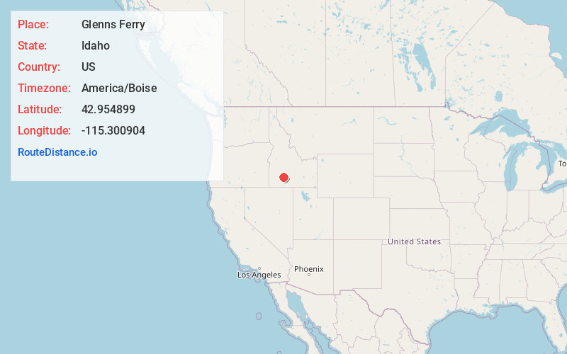
Full AddressGlenns Ferry, ID
-
Coordinates42.9548989, -115.3009037
-
LocationGlenns Ferry , Idaho , US
-
TimezoneAmerica/Boise
-
Current Local Time10:19:19 PM America/BoiseSunday, June 22, 2025
-
Website
-
Page Views0
About Glenns Ferry
Glenns Ferry is a city in Elmore County, Idaho, United States. The population was 1,293 at the 2020 census. The city is adjacent to Interstate 84 and the Snake River.


Nearby Places
Found 8 places within 50 miles

Mountain Home
23.2 mi
37.3 km
Mountain Home, ID 83647
Get directions

Mountain Home AFB
29.0 mi
46.7 km
Mountain Home AFB, ID
Get directions

Gooding
29.8 mi
48.0 km
Gooding, ID 83330
Get directions

Wendell
32.7 mi
52.6 km
Wendell, ID 83355
Get directions

Buhl
36.9 mi
59.4 km
Buhl, ID 83316
Get directions

Jerome
42.7 mi
68.7 km
Jerome, ID 83338
Get directions

Filer
44.1 mi
71.0 km
Filer, ID 83328
Get directions

Shoshone
45.3 mi
72.9 km
Shoshone, ID 83352
Get directions
Location Links
Local Weather
Weather Information
Coming soon!
Location Map
Static map view of Glenns Ferry, Idaho
Browse Places by Distance
Places within specific distances from Glenns Ferry
Short Distances
Long Distances
Click any distance to see all places within that range from Glenns Ferry. Distances shown in miles (1 mile ≈ 1.61 kilometers).