Distance to Glenolden, Pennsylvania

Calculating Your Route
Just a moment while we process your request...
Location Information
-
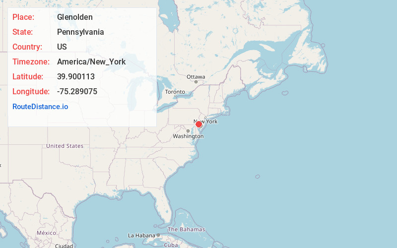
Full AddressGlenolden, PA
-
Coordinates39.9001126, -75.2890745
-
LocationGlenolden , Pennsylvania , US
-
TimezoneAmerica/New_York
-
Current Local Time9:51:48 AM America/New_YorkSaturday, June 14, 2025
-
Website
-
Page Views0
About Glenolden
Glenolden is a borough in Delaware County, Pennsylvania, United States. The population was 7,223 at the 2020 census, up from 7,153 at the 2010 census.


Nearby Places
Found 10 places within 50 miles

Collingdale
1.0 mi
1.6 km
Collingdale, PA
Get directions
Moore
1.1 mi
1.8 km
Moore, Prospect Park, PA 19076
Get directions

Darby
2.0 mi
3.2 km
Darby, PA
Get directions

Folsom
2.0 mi
3.2 km
Folsom, PA
Get directions

Ridley Park
2.3 mi
3.7 km
Ridley Park, PA
Get directions

Lansdowne
2.8 mi
4.5 km
Lansdowne, PA 19050
Get directions

Yeadon
3.2 mi
5.1 km
Yeadon, PA
Get directions

Drexel Hill
3.2 mi
5.1 km
Drexel Hill, PA 19026
Get directions
Woodlyn
3.3 mi
5.3 km
Woodlyn, PA
Get directions

Upper Darby Township
4.1 mi
6.6 km
Upper Darby Township, PA
Get directions
Location Links
Local Weather
Weather Information
Coming soon!
Location Map
Static map view of Glenolden, Pennsylvania
Browse Places by Distance
Places within specific distances from Glenolden
Short Distances
Long Distances
Click any distance to see all places within that range from Glenolden. Distances shown in miles (1 mile ≈ 1.61 kilometers).