Distance to Glensboro, Kentucky

Calculating Your Route
Just a moment while we process your request...
Location Information
-
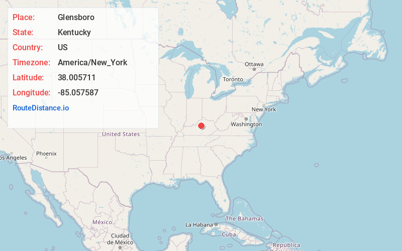
Full AddressGlensboro, KY 40342
-
Coordinates38.005711, -85.057587
-
LocationGlensboro , Kentucky , US
-
TimezoneAmerica/New_York
-
Current Local Time4:31:52 PM America/New_YorkMonday, June 23, 2025
-
Page Views0
About Glensboro
Glensboro is an unincorporated community in Anderson County, Kentucky, United States. It lies along Route 44 west of the city of Lawrenceburg, the county seat of Anderson County. Its elevation is 610 feet.
The community is part of the Frankfort Micropolitan Statistical Area.
Nearby Places
Found 10 places within 50 miles

Anderson City
1.7 mi
2.7 km
Anderson City, KY 40342
Get directions
Drydock
2.2 mi
3.5 km
Drydock, KY 40342
Get directions
Gee
2.7 mi
4.3 km
Gee, KY 40342
Get directions
Wayside
2.9 mi
4.7 km
Wayside, KY 40046
Get directions
Sinai
3.9 mi
6.3 km
Sinai, KY 40342
Get directions
Hickory Grove
4.4 mi
7.1 km
Hickory Grove, KY 40342
Get directions
Ashbrook
5.1 mi
8.2 km
Ashbrook, KY 40342
Get directions
Johnsonville
5.6 mi
9.0 km
Johnsonville, KY 40342
Get directions
Junte
5.7 mi
9.2 km
Junte, KY 40076
Get directions
Ballard
6.4 mi
10.3 km
Ballard, KY 40342
Get directions
Location Links
Local Weather
Weather Information
Coming soon!
Location Map
Static map view of Glensboro, Kentucky
Browse Places by Distance
Places within specific distances from Glensboro
Short Distances
Long Distances
Click any distance to see all places within that range from Glensboro. Distances shown in miles (1 mile ≈ 1.61 kilometers).