Distance to Glenville, Delaware

Calculating Your Route
Just a moment while we process your request...
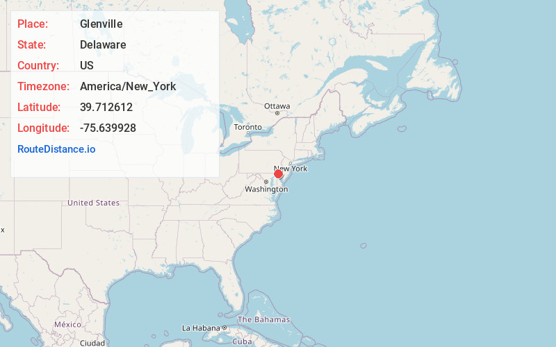
Location Information
-
Full AddressGlenville, DE 19804
-
Coordinates39.7126124, -75.6399284
-
LocationDelaware , US
-
TimezoneAmerica/New_York
-
Current Local Time5:46:35 PM America/New_YorkSaturday, June 14, 2025
-
Page Views0
About Glenville
Glenville is a ghost town in Delaware, United States, at 39°42′45″N 75°38′24″W. The community consisted of a development on Bread and Cheese Island, on the east bank of the Red Clay Creek near its mouth, just south of Delaware Route 4 near Stanton.
Nearby Places
Found 10 places within 50 miles

Stanton
0.2 mi
0.3 km
Stanton, DE 19804
Get directions
Stanton Estates
0.4 mi
0.6 km
Stanton Estates, DE 19804
Get directions
Rolling Hills
0.6 mi
1.0 km
Rolling Hills, DE 19804
Get directions
Kiamensi
0.8 mi
1.3 km
Kiamensi, DE 19804
Get directions
Pleasant Hills
0.9 mi
1.4 km
Pleasant Hills, DE 19804
Get directions
Manette Heights
0.9 mi
1.4 km
Manette Heights, DE 19804
Get directions
Klair Estate
0.9 mi
1.4 km
Klair Estate, DE 19808
Get directions
Washington Heights
1.0 mi
1.6 km
Washington Heights, DE 19808
Get directions
Tuxedo Park
1.1 mi
1.8 km
Tuxedo Park, DE 19804
Get directions
Cedar Heights
1.4 mi
2.3 km
Cedar Heights, DE 19804
Get directions
Location Links
Local Weather
Weather Information
Coming soon!
Location Map
Static map view of Glenville, Delaware
Browse Places by Distance
Places within specific distances from Glenville
Short Distances
Long Distances
Click any distance to see all places within that range from Glenville. Distances shown in miles (1 mile ≈ 1.61 kilometers).