Distance to Glenville, Alabama

Calculating Your Route
Just a moment while we process your request...
Location Information
-
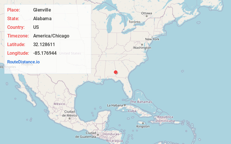
Full AddressGlenville, AL 36871
-
Coordinates32.128611, -85.176944
-
LocationGlenville , Alabama , US
-
TimezoneAmerica/Chicago
-
Current Local Time2:44:50 PM America/ChicagoFriday, May 30, 2025
-
Page Views0
About Glenville
Glenville is an unincorporated community in Russell County, Alabama, United States which used to be in Barbour County. During the Civil War, Company "H" of the 15th Regiment Alabama Infantry was raised from Barbour and Dale counties and called the "Glenville Guards".

Nearby Places
Found 10 places within 50 miles

McLendon
5.2 mi
8.4 km
McLendon, AL 36871
Get directions
Hooks
5.4 mi
8.7 km
Hooks, AL 36871
Get directions
Cottonton
6.2 mi
10.0 km
Cottonton, AL 36871
Get directions
Hawkinsville
7.2 mi
11.6 km
Hawkinsville, AL 36027
Get directions
Howe
7.6 mi
12.2 km
Howe, AL 36027
Get directions
Rutherford
9.2 mi
14.8 km
Rutherford, AL 36860
Get directions
Loflin
9.6 mi
15.4 km
Loflin, AL 36871
Get directions
Heard Place
11.3 mi
18.2 km
Heard Place, GA 31821
Get directions
Lugo
11.5 mi
18.5 km
Lugo, AL 36053
Get directions
Coffinton
12.2 mi
19.6 km
Coffinton, GA 31815
Get directions
Location Links
Local Weather
Weather Information
Coming soon!
Location Map
Static map view of Glenville, Alabama
Browse Places by Distance
Places within specific distances from Glenville
Short Distances
Long Distances
Click any distance to see all places within that range from Glenville. Distances shown in miles (1 mile ≈ 1.61 kilometers).