Distance to Glenwild, Mississippi

Calculating Your Route
Just a moment while we process your request...
Location Information
-
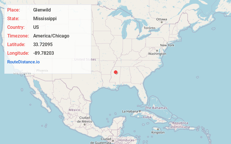
Full AddressGlenwild, MS 38901
-
Coordinates33.7209504, -89.7820296
-
LocationMississippi , US
-
TimezoneAmerica/Chicago
-
Current Local Time11:12:00 PM America/ChicagoMonday, June 30, 2025
-
Page Views0
About Glenwild
Glenwild is an unincorporated community located in Grenada County, Mississippi and part of the Grenada Micropolitan Statistical Area. Glenwild is approximately 3 miles south of Tie Plant and approximately 3 miles north of Elliott near U.S. Route 51.
The community is named for the former Glenwild Plantation.
Nearby Places
Found 10 places within 50 miles

Elliott
3.2 mi
5.1 km
Elliott, MS
Get directions

Grenada
3.7 mi
6.0 km
Grenada, MS 38901
Get directions

Duck Hill
7.3 mi
11.7 km
Duck Hill, MS 38925
Get directions

Dubard
8.7 mi
14.0 km
Dubard, MS 38940
Get directions
Holcomb
11.4 mi
18.3 km
Holcomb, MS 38940
Get directions
Misterton
11.5 mi
18.5 km
Misterton, MS 38925
Get directions
Lilac
11.7 mi
18.8 km
Lilac, MS 38925
Get directions
Rosebloom
14.5 mi
23.3 km
Rosebloom, MS 38920
Get directions
Leflore
15.8 mi
25.4 km
Leflore, MS 38940
Get directions
North Carrollton
16.1 mi
25.9 km
North Carrollton, MS
Get directions
Location Links
Local Weather
Weather Information
Coming soon!
Location Map
Static map view of Glenwild, Mississippi
Browse Places by Distance
Places within specific distances from Glenwild
Short Distances
Long Distances
Click any distance to see all places within that range from Glenwild. Distances shown in miles (1 mile ≈ 1.61 kilometers).