Distance to Glover, Alabama

Calculating Your Route
Just a moment while we process your request...
Location Information
-
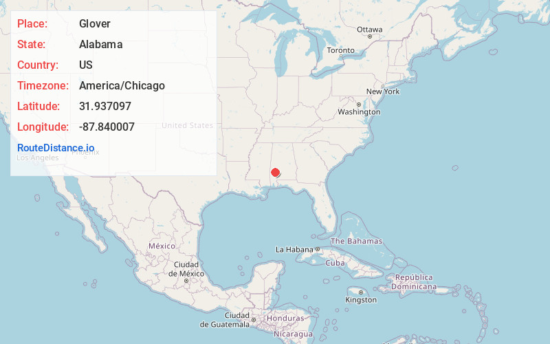
Full AddressGlover, AL 36784
-
Coordinates31.937097, -87.8400066
-
LocationAlabama , US
-
TimezoneAmerica/Chicago
-
Current Local Time2:55:07 AM America/ChicagoTuesday, June 10, 2025
-
Page Views0
Nearby Places
Found 10 places within 50 miles

Tallahatta Springs
2.9 mi
4.7 km
Tallahatta Springs, AL 36784
Get directions
Nicholsville
6.2 mi
10.0 km
Nicholsville, AL 36782
Get directions

Thomasville
6.3 mi
10.1 km
Thomasville, AL
Get directions
Hotamville
7.0 mi
11.3 km
Hotamville, AL 36784
Get directions
Clayhill
7.6 mi
12.2 km
Clayhill, AL 36784
Get directions
Roundhill
8.1 mi
13.0 km
Roundhill, AL 36784
Get directions
Springfield
8.5 mi
13.7 km
Springfield, AL 36784
Get directions
Dixons Mills
8.7 mi
14.0 km
Dixons Mills, AL 36736
Get directions
Finley Crossing
9.2 mi
14.8 km
Finley Crossing, Thomasville, AL 36784
Get directions
Vangale
9.3 mi
15.0 km
Vangale, AL 36782
Get directions
Location Links
Local Weather
Weather Information
Coming soon!
Location Map
Static map view of Glover, Alabama
Browse Places by Distance
Places within specific distances from Glover
Short Distances
Long Distances
Click any distance to see all places within that range from Glover. Distances shown in miles (1 mile ≈ 1.61 kilometers).